Llyn Crafnant
![]()
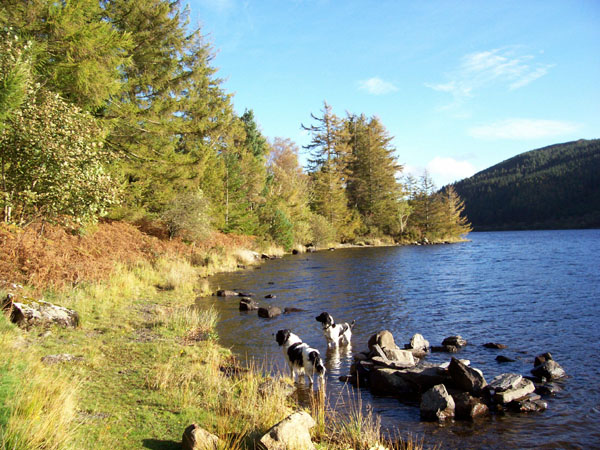
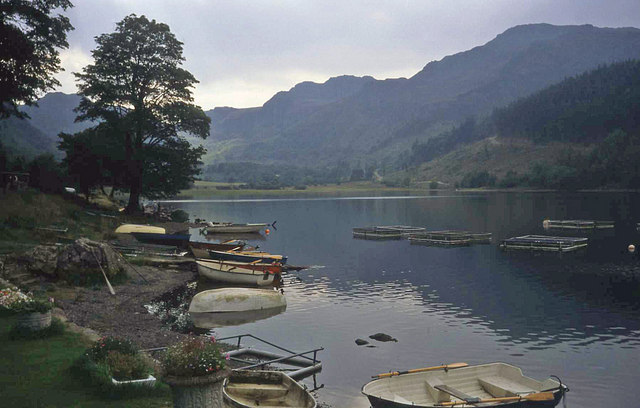
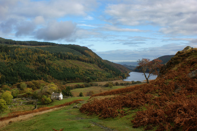
![]() Llyn Crafnant is another beautiful reservoir in the Gwydyr Forest area of the Snowdonia National Park. There's a splendid 3 mile circular trail running around the lake with great views to the surrounding forests and Carneddau mountains. It's a fairly easy waymarked walk so perfect for an afternoon stroll in peaceful surroundings.
Llyn Crafnant is another beautiful reservoir in the Gwydyr Forest area of the Snowdonia National Park. There's a splendid 3 mile circular trail running around the lake with great views to the surrounding forests and Carneddau mountains. It's a fairly easy waymarked walk so perfect for an afternoon stroll in peaceful surroundings.
You can start the walk from the car park on Crafnant Road, just to the north of the reservoir. Head south from here and you can pick up the footpaths on the western side of the water. Follow the path through the woodland and past the lake until you come to the River Hendre. You turn left here and cross the river to return to the Crafnant Road. You can follow this quiet little country lane all the way back to the car park. On this section you'll pass the lakeside cafe where you can hire boats and stop for a bite to eat. There is also the option of picking up more woodland trails to the east of the lane if you prefer.
You can extend your walk by following more waymarked trails over Mynydd Deulyn to Llyn Geirionydd, about half a mile to the east. There's another nice circular trail to try here.
Just over a mile to the west you can visit Llyn Cowlyd where there is another nice trail running along the lake. The challenging climb to Moel Siabod also starts from nearby Capel Curig.
Postcode
LL27 0JZ - Please note: Postcode may be approximate for some rural locationsLlyn Crafnant Ordnance Survey Map  - view and print off detailed OS map
Llyn Crafnant Open Street Map  - view and print off detailed map
*New* - Walks and Cycle Routes Near Me Map - Waymarked Routes and Mountain Bike Trails>>
Llyn Crafnant OS Map  - Mobile GPS OS Map with Location tracking
Llyn Crafnant Open Street Map  - Mobile GPS Map with Location tracking
Further Information and Other Local Ideas
A few miles to the east you will find the noteworthy market town of Llanrwst. Here you can try the circular Llanrwst Walk which visits some of the towns highlights. These include the splendid Gwydir Estate which contains a historic castle, an ancient chapel, the Grey Mare's Tail Waterfall and an expansive forest.
For some interesting local history try the Dolgarrog Pipeline Walk. This explores the area around the little village, visiting the impressive pipeline structure and the Coedty reservoir. Near here there's also the beautiful Llyn Eigiau where the reservoir dam was breached leading to the Dolgarrog Dam disaster of 1925.
Just east of Dolgarrog there's the climb to Cadair Ifan Goch, a National Trust owned area. From the summit of the hills there are excellent views over the River Conwy Valley to the Carneddau mountains.
For more walking ideas in the area see the Snowdonia Walks page.


