Loch Ericht
![]()
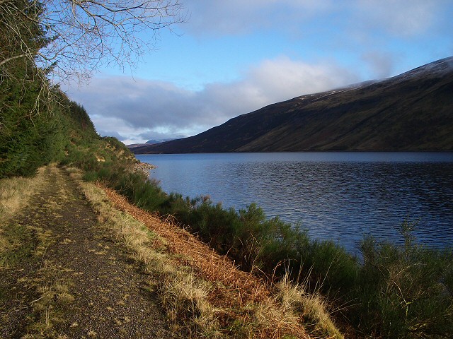
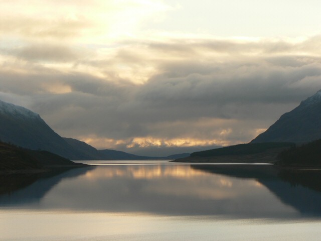
![]() This large freshwater loch is located on the border between Perth and Kinross and the Highlands. There's nice walking and cycling trails along the loch with views across the water to several significant mountains including Ben Alder.
This large freshwater loch is located on the border between Perth and Kinross and the Highlands. There's nice walking and cycling trails along the loch with views across the water to several significant mountains including Ben Alder.
This walk takes you along the western side of the loch and past the Ericht Forest.
The walk starts from Dalwhinnie train station at the northern end of the loch. From here you can pick up footpaths heading south through the Ben Alder estate along the lochside path. The route finishes at the Ben Alder Lodge though you could continue along the path if you wish. You could also head to the west and visit the nearby Loch Pattack and enjoy a climb to the excellent viewpoint at Ben Alder. There's great views back down to the loch from this elevated position.
At the southern end of the loch you can link up with the River Ericht and see the dam. The river can then be followed south to visit the nearby Loch Rannoch.
Postcode
PH19 1AD - Please note: Postcode may be approximate for some rural locationsLoch Ericht Ordnance Survey Map  - view and print off detailed OS map
Loch Ericht Open Street Map  - view and print off detailed map
Loch Ericht OS Map  - Mobile GPS OS Map with Location tracking
Loch Ericht Open Street Map  - Mobile GPS Map with Location tracking
Further Information and Other Local Ideas
Head west and there's more splendid lochside walking in the Highlands to enjoy at Loch Arkaig, Loch Oich, Loch Garry and Loch Lochy. You can also pick up the epic Great Glen Way and the Caledonian Canal in this area.
Head west and you could visit Loch Laggan and the Ardverikie Estate. The loch includes the largest freshwater beach in Britain. The expansive estate was also used for the BBC series Monarch of the Glen. On the northern side of the loch there's also the Creag Meagaidh Nature Reserve. The area includes a wide variety of interesting flora and fauna with several nationally important plant species. There's also a circular waymarked trail which will take you to a fine viewpoint.
For more walking ideas in the area see the Scottish Highlands Walks page.
Cycle Routes and Walking Routes Nearby
Photos
Loch Ericht and Ben Alder, near to Dalwhinnie, Highland. A view along Loch Ericht towards Ben Alder. Loch Ericht is some 15 miles long and Ben Alder (centre) is about 11 miles from the camera position.


