Loch Long Ardentinny Walk
![]()
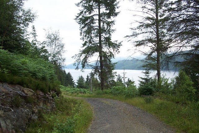
![]() This circular walk follows two delightful waymarked trails on the western side of Loch Long at Ardentinny in the Loch Lomond and the Trossachs National Park.
This circular walk follows two delightful waymarked trails on the western side of Loch Long at Ardentinny in the Loch Lomond and the Trossachs National Park.
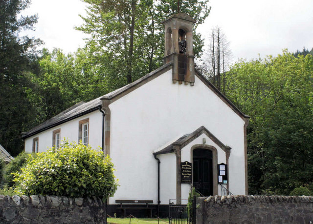
The walk starts in the pretty little village of Ardentinny on the western shores of the expansive loch. Here you can pick up the Laird's Trail and follow it north along the loch. The trails then head up into the woodland surrounding the loch. They'll take you back to the village on nice woodland trails, crossing the Glen Finnart Burn on the way.
After your exercise you can enjoy refreshments in The Ardentinny pub. The contemporary Scottish bar & Italian bistro has a wonderful outdoor decking area with fabulous views over the loch. The site has a rich history, with parts of the building dating back to the late 1600’s, originally serving as a place where the Dukes of Argyll waited for the ferry whilst travelling between castles in Dunoon and Rosneath.
You can continue your walking in the area by heading west and visiting Loch Eck. There's a nice trail running along the western side of the loch and the beautiful Benmore Botanical Gardens at the southern end. Also nearby is the delightful Pucks Glen where there's a lovely trail through a wood gorge with a burn and waterfalls.
Postcode
PA23 8TR - Please note: Postcode may be approximate for some rural locationsLoch Long Ordnance Survey Map  - view and print off detailed OS map
Loch Long Open Street Map  - view and print off detailed map
Loch Long OS Map  - Mobile GPS OS Map with Location tracking
Loch Long Open Street Map  - Mobile GPS Map with Location tracking
Further Information and Other Local Ideas
The circular Arrochar Walk explores the northern end of the loch. From here you can also climb to The Cobbler Mountain.
To the north there's the impressive Loch Sloy Dam where you can enjoy fine views down to the loch below. Ben Vorlich is also near the loch and a good climb to try in the area.
To the north you can pick up the Lochgoilhead and Loch Goil Walk and explore the area around the pretty village. The loch is an arm of Loch Long and includes more pleasant waterside trails with some waterfalls to visit on the nearby Donich Water.
For more walking ideas in the area see the Loch Lomond and the Trossachs Walks page.


