Lough Talt Loop Walk
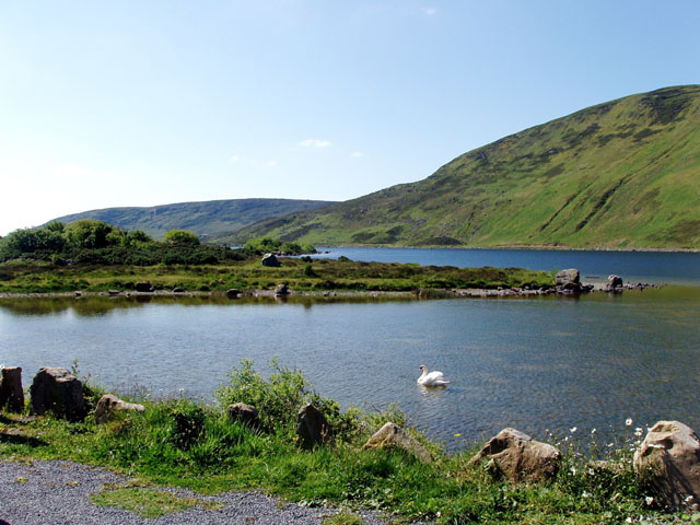
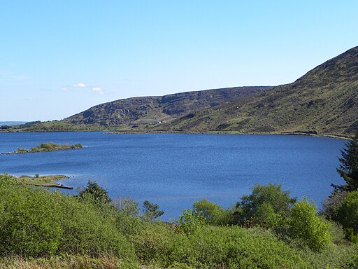
![]() This circular walk takes you around the scenic Lough Talt in Country Sligo.
This circular walk takes you around the scenic Lough Talt in Country Sligo.
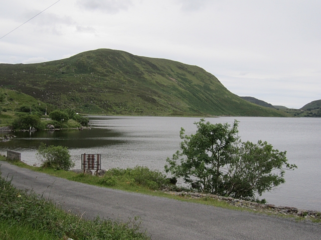
You can start the walk from the car park at the southern end of the lake. You can then follow a lovely lakeside path along the western side of the water before returning along the road if you wish.
The route runs for about 5.5km with wonderful views over the lough to the surrounding hills. There's also lots of wildlife with swans, ducks and dippers to look out for on the way.
To continue your walking in the area you could head west to visit the expansive Lough Conn. Here you can visit the atmospheric remains of the ancient Errew Abbey. The Sligo Way long distance trail also starts from the northern end of the lake.
Lough Talt Open Street Map  - view and print off detailed map
Ireland Walking Map - View All the Routes in the Country>>
Lough Talt Open Street Map  - Mobile GPS Map with Location tracking
Further Information and Other Local Ideas
Just to the north you can continue your waterside walking around the lovely Lough Easkey in the Ox Mountains. There's a fine 6km waymarked loop to follow around the lake here.
The Enniscrone Coastal Walk takes you along a lovely coast path in the town of Enniscrone. There's a nice beach and fine views of Killala Bay and the Atlantic Ocean to enjoy here.
Cycle Routes and Walking Routes Nearby
Photos
Lough Talt is part of the Lough Hoe Bog Special Area of Conservation, an area of montane bogland and oligotrophic lakes. Lough Talt is the largest of the lakes in the Lough Hoe Bog area.


