Lovers Walk Matlock Bath
![]()
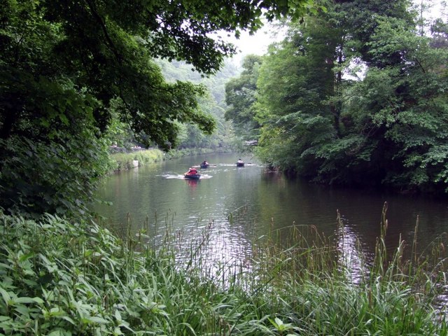
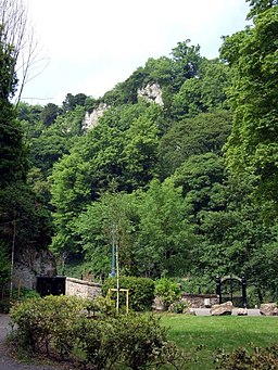
![]() The Lovers Walk in Matlock Bath take you along the River Derwent and through the adjacent woodland. It also climbs to the cliffs above the river for great views over the area.
The Lovers Walk in Matlock Bath take you along the River Derwent and through the adjacent woodland. It also climbs to the cliffs above the river for great views over the area.
It's a short route but there is some moderate climbing on the return leg.
You can pick up the walk just to the south of the train station, on the eastern side of the river. Follow the paths along the river before crossing on the footbridge to visit Derwent Gardens. In the pretty gardens you will find an Ornamental Fountain, a pond and lots interesting plants and flowers.
After exploring the gardens cross back to the other side of the river and climb through the woods to the cliffs above the town.
You can continue your walking by heading across the river and trying the wonderful cable car at the Heights of Abraham.
Just to the north of the train station you can enjoy a climb to High Tor and the exciting narrow walkway of Giddy Edge.


