Sheldon Magpie Mine Walk
![]()
![]() This walk visits the Magpie Mine from the Derbyshire village of Sheldon. The trail exposes you to the interesting industrial heritage of the area. There's also some fine views of the surrounding White Peak limestone countryside from the photogenic site.
This walk visits the Magpie Mine from the Derbyshire village of Sheldon. The trail exposes you to the interesting industrial heritage of the area. There's also some fine views of the surrounding White Peak limestone countryside from the photogenic site.
You can start the walk in Sheldon village and follow footpaths south to visit the mines. The walled site includes a series of well preserved Lead Mines which date back to the 1600s. The mine closed in 1958 but has been recently restored for visitor access. It is now a Scheduled Ancient Monument and a popular place for a stroll.
Sheldon is very close to the popular and beautiful Monsal Dale. Just head north and you can enjoy wonderful views from Monsal Head and pick up the Monsal Trail.
Postcode
DE45 1QU - Please note: Postcode may be approximate for some rural locationsMagpie Mine Ordnance Survey Map  - view and print off detailed OS map
Magpie Mine Open Street Map  - view and print off detailed map
*New* - Walks and Cycle Routes Near Me Map - Waymarked Routes and Mountain Bike Trails>>
Magpie Mine OS Map  - Mobile GPS OS Map with Location tracking
Magpie Mine Open Street Map  - Mobile GPS Map with Location tracking
Pubs/Cafes
Back in Sheldon you can enjoy some post walk refreshment at The Cock and Pullet. The cosy old barn conversion serves good quality food. You can find them on the Main Street at postcode DE45 1QS.
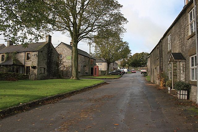
The village itself is also a nice place for a stroll with old limestone cottages and a mid 19th century church.
Dog Walking
The area makes for a fine dog walk. The Cock and Pullet pub mentioned above is also dog friendly.
Further Information and Other Local Ideas
Just to the south you will find the lovely Lathkill Dale. It's one of the highlights of the area with splendid footpaths along the River Lathkill to enjoy.
Cycle Routes and Walking Routes Nearby
Photos
Broken landscape. Magpie Mine, Sheldon with plenty of evidence of mining activity and a few disinterested cows and calves.
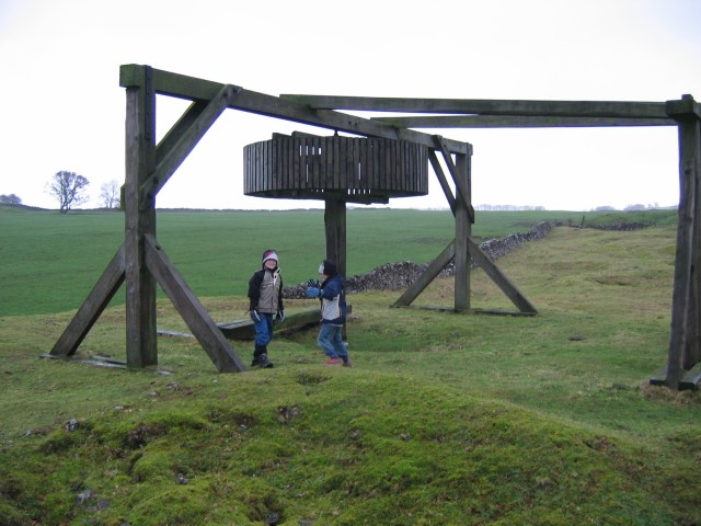
Horse Gin. A reproduction horse gin has been set up at the Red Soil mine shaft, where the original horse-powered winding gear was used to lift lead ore up to the surface
Field Strips and Abandoned Mine near Kirk Dale. This picture shows Kirk Dale and was taken close to the site of the old Magshaw lead mine. The neighbouring Magpie mine (SK1669) is visible on the far left of shot and in their heyday the proximity of the two operations often led to disputes over the prized veins of lead ore. Roof falls, fires and floods were also common occurances. Recent excavations of the abandoned mine shafts uncovered some more unexplained sightings - read Barbara Wadd's 'Ghost Walks in Derbyshire' for more tales...


