May Hill Walk with OS Map
![]()
![]() Climb this hill on the Gloucestershire/Herefordshire border for wonderful views over the two counties, the Forest of Dean and the River Severn. On a clear day you can also see the Cotswolds and the Black Mountains in Wales.
Climb this hill on the Gloucestershire/Herefordshire border for wonderful views over the two counties, the Forest of Dean and the River Severn. On a clear day you can also see the Cotswolds and the Black Mountains in Wales.
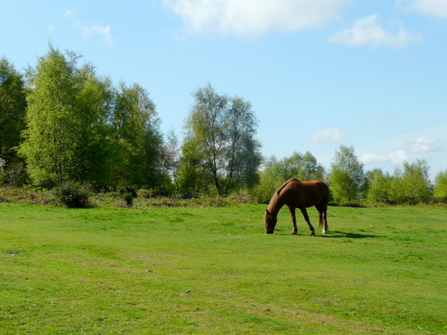
The walk starts from the May Hill Common car park about a mile north of the hill. You then climb to the 1000ft (305m) summit where you will find a distinctive row of Corsican pine trees planted to commemorate Queen Victoria's Golden Jubilee in 1887. The summit is also covered in interesting flora such as acid grassland, heather and bluebells in the spring. Look out for wildlife including ponies and meadow pipits on the way.
You can return the same way or venture into the adjacent Newent Woods and visit Glasshouse Hill and Castle Hill Wood to extend your walk. The Gloucestershire Way and the Wysis Way both pass the hill so you could also pick up these long distance walking trails.
An alternative route to the hill would be to follow the Wysis Way from nearby Mitcheldean.
Postcode
GL18 1JS - Please note: Postcode may be approximate for some rural locationsMay Hill Ordnance Survey Map  - view and print off detailed OS map
May Hill Open Street Map  - view and print off detailed map
*New* - Walks and Cycle Routes Near Me Map - Waymarked Routes and Mountain Bike Trails>>
May Hill OS Map  - Mobile GPS OS Map with Location tracking
May Hill Open Street Map  - Mobile GPS Map with Location tracking
Pubs/Cafes
The Penny Farthing Inn is a great choice for some post walk refreshments. The 17th Century pub & restaurant boasts many original features, including exposed beams and brick work with a central bar-servery. There is also a large beer garden and play area with views across to the Black Mountains and in the other direction towards the Malvern Hills. It's located a few miles west of the hill at Aston Crews with a postcode of HR9 7LW for your sat navs.
Further Information and Other Local Ideas
The Newent Walk visits the hill from the nearby town. On the way it also passes Newent Woods and the noteworthy International Birds of Prey Centre in Boulsdon. The centre is one of the main attractions in the area and is notable as the oldest dedicated birds of prey centre in the world. It's located just a couple of miles north of the hill and well worth a visit. The town centre of Newent is also worthy of exploration and includes the 17th century half timbered Market Hall and a number of listed 13th century buildings.
For more walking ideas in the area see the Gloucestershire Walks and the Herefordshire Walks pages.
Cycle Routes and Walking Routes Nearby
Photos
Celebration at the summit of May Hill. A local group of walkers decided to have a Christmas picnic at the top of May Hill, come rain or shine. Freezing fog was the weather feature of the day at the summit (296m). The landmark clump of trees was planted to commemorate the Golden Jubilee of Queen Victoria.


