Meikle Bin Walk with OS Map
![]()
![]() Climb to the Meikle Bin mountain on this splendid walk in the Carron Valley. It's a challenging climb with the summit rising to a height of nearly 1900ft.
Climb to the Meikle Bin mountain on this splendid walk in the Carron Valley. It's a challenging climb with the summit rising to a height of nearly 1900ft.
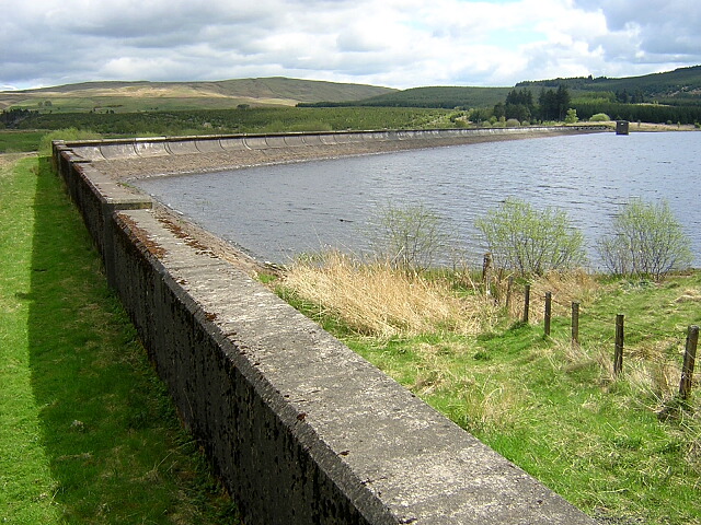
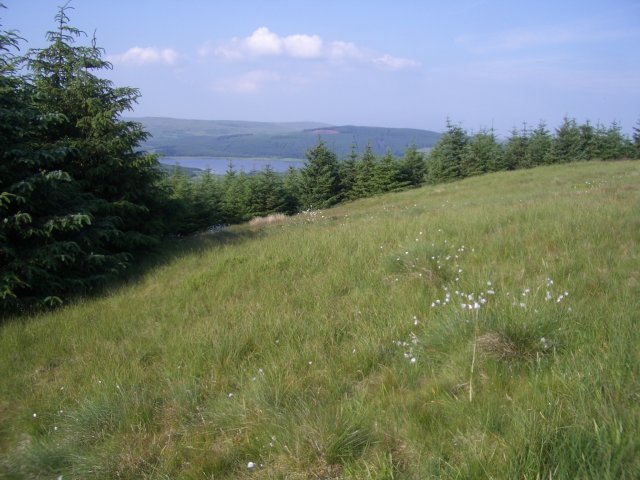
The walk starts from the Todholes car park at the northern end of the Carron Valley Reservoir. From here you pick up the waymarked trail and head south through the forest to Bin Bairn. The rest of the route climbs to Meikle Bin where there are fabulous views to the coast and the surrounding hills and mountains.
To continue your walking in the area you can try the Loch Shore Trail at the southern end of the Carron Valley Reservoir. It's another well signposted trail with more great views over the water.
Postcode
FK6 5JL - Please note: Postcode may be approximate for some rural locationsMeikle Bin Trail Ordnance Survey Map  - view and print off detailed OS map
Meikle Bin Trail Open Street Map  - view and print off detailed map
*New* - Walks and Cycle Routes Near Me Map - Waymarked Routes and Mountain Bike Trails>>
Meikle Bin Trail OS Map  - Mobile GPS OS Map with Location tracking
Meikle Bin Trail Open Street Map  - Mobile GPS Map with Location tracking
Further Information and Other Local Ideas
Just to the north west of the Carron Valley Reservoir there's the Loup of Fintry where you'll find beautiful 94ft high waterfalls. To the south east of the reservoir there's the Tomtain Kilsyth Hills Walk where there's a fine viewpoint with excellent views over the reservoir below.
Cycle Routes and Walking Routes Nearby
Photos
Meikle Bin. Taken on a beautiful autumn day from the top of the Campsie Fells.
Historical aircraft wreckage on Meikle Bin. The hill was the site of a fatal accident in January 1950, when a Fairey Firefly of the Royal Navy Fleet Air Arm crashed just below the summit in low cloud while en route to HMS Sanderling Naval Air Station. Both crewmen were killed on impact. Wreckage can be seen on the north and east slopes.


