Loup of Fintry Walk
![]()
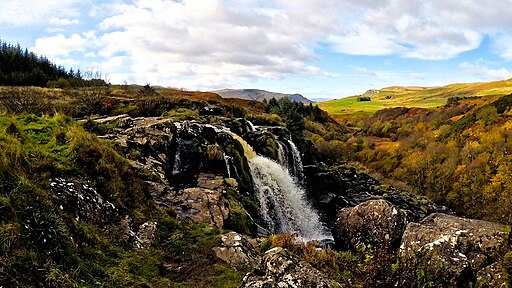
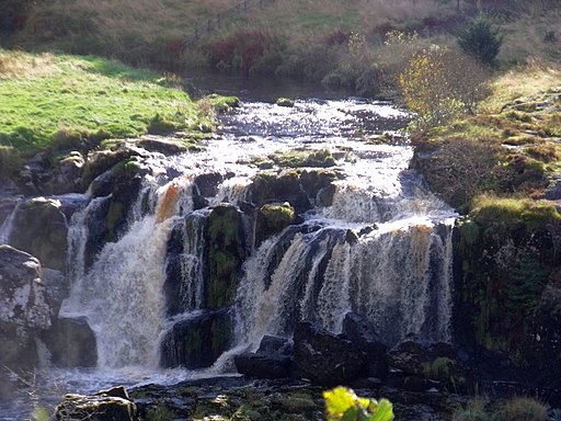
![]() This walk visits the Loup of Fintry waterfall on the River Endrick near the village of Fintry. The falls are somewhat off the beaten track and something of a hidden gem.
This walk visits the Loup of Fintry waterfall on the River Endrick near the village of Fintry. The falls are somewhat off the beaten track and something of a hidden gem.
You can find the falls about 2 miles east of the village, just off the B818. There's some roadside parking on this country lane with a footpath heading south to the falls, across some fields. The 94ft high falls are a stunning sight particularly after heavy rain.
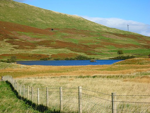
The expansive Carron Valley Reservoir and Carron Forest are only about a mile east of the falls. You can continue your walking here on the many waterside and woodland trails. Walton Loch lies just to the north.
The site is located about 17 miles from the city of Stirling.
Scroll down the page for some splendid photos and a drone video of the falls which shows a birds eye view of the lovely surrounding woodland and views of the Campsie Fells.
Postcode
G63 0XH - Please note: Postcode may be approximate for some rural locationsLoup of Fintry Ordnance Survey Map  - view and print off detailed OS map
Loup of Fintry Open Street Map  - view and print off detailed map
Loup of Fintry OS Map  - Mobile GPS OS Map with Location tracking
Loup of Fintry Open Street Map  - Mobile GPS Map with Location tracking
Further Information and Other Local Ideas
For more walking ideas in the area see the Stirling Walks page.


