Middle Black Clough Waterfall Walk
![]()
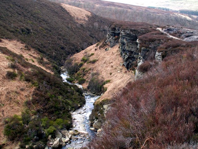
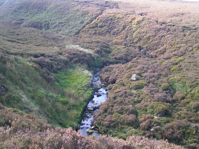
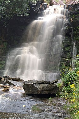
![]() This walk visits the waterfalls at Middle Black Clough and Far Black Clough near Woodhead Reservoir in the Peak District. The clough and the waterfalls are a little of the beaten track and require good footwear as some of the paths are quite wet. It's a beautiful place with a number of water courses and particularly picturesque waterfalls to see.
This walk visits the waterfalls at Middle Black Clough and Far Black Clough near Woodhead Reservoir in the Peak District. The clough and the waterfalls are a little of the beaten track and require good footwear as some of the paths are quite wet. It's a beautiful place with a number of water courses and particularly picturesque waterfalls to see.
You can start the walk from the car park at the eastern end of the reservoir near to the Woodhead Tunnel. Follow the A road east before crossing to the south. You can then follow footpaths heading south east along the River Etherow before turning south to explore Middle Clough and the secluded waterfall. After admiring the falls you then retrace your steps towards the river before heading south east to explore Far Black Clough where there's more stunning scenery and interesting rock formations to see.
Postcode
SK13 1JE - Please note: Postcode may be approximate for some rural locationsMiddle Black Clough Waterfall Walk Ordnance Survey Map  - view and print off detailed OS map
Middle Black Clough Waterfall Walk Open Street Map  - view and print off detailed map
Middle Black Clough Waterfall Walk OS Map  - Mobile GPS OS Map with Location tracking
Middle Black Clough Waterfall Walk Open Street Map  - Mobile GPS Map with Location tracking
Further Information and Other Local Ideas
Near the car park you'll pass the Longdendale Trail. You can follow this shared cycling and walking trail west along Woodhead Reservoir to visit Torside Reservoir.
The excellent viewpoint at Bleaklow is only a couple of miles to the south west as well.
For more walking ideas in the area see the Peak District Walks page.
Cycle Routes and Walking Routes Nearby
Photos
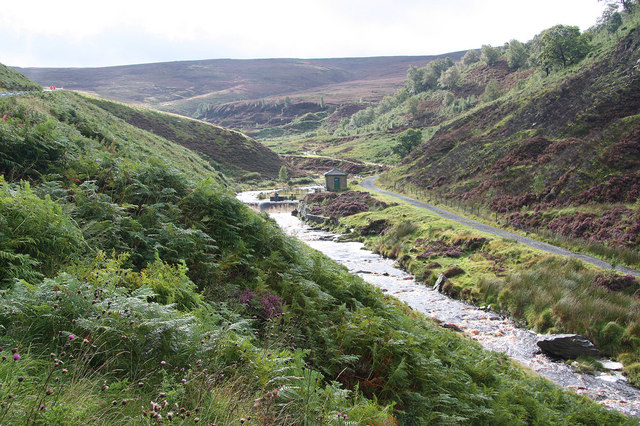
May At The Blacks. Pic taken below where water from the three Black Cloughs, near, middle and far, merge before joining the River Ethrow. All the vegetation is lush and green.


