Milton under Wychwood Walks
![]()
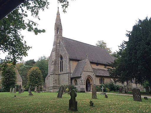
![]() This Oxfordshire based village is located near Burford and Chipping Norton.
This Oxfordshire based village is located near Burford and Chipping Norton.
Milton is one of three villages named after the ancient Wychwood Forest with the others being Shipton Under Wychwood and Ascott-under-Wychwood which lie just to the east.
This circular walk from the village visits the neighbouring settlements of Fifield and Idbury before heading into the Foxholes Nature Reserve. You'll then pick up part of the Oxfordshire Way to visit Shipton Under Wychwood before returning to the village.
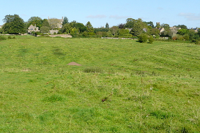
On the way there's some lovely views of the surrounding countryside before the peaceful bluebell woodland at Foxholes. This area is also great for wildlife with lots of woodland birds to look out for.
Postcode
OX7 6LA - Please note: Postcode may be approximate for some rural locationsMilton under Wychwood Ordnance Survey Map  - view and print off detailed OS map
Milton under Wychwood Open Street Map  - view and print off detailed map
Milton under Wychwood OS Map  - Mobile GPS OS Map with Location tracking
Milton under Wychwood Open Street Map  - Mobile GPS Map with Location tracking
Walks near Milton under Wychwood
- Shipton Under Wychwood - This circular walk from Shipton Under Wychwood visits the Foxholes Nature Reserve and the neighbouring villages of Milton under Wychwood and Ascott Under Wychwood
- Wychwood Forest - Explore this large area of forest near Charlbury on this woodland walk.
- Charlbury Circular Walk - This circular walk uses part of the Oxfordshire Way long distance trail to explore the area around the Oxfordshire town of Charlbury.
- Cornbury Park - A circular walk around the Cornbury Park estate in Charlbury
- Burford Circular Walk - This circular walk explores the countryside and woodland surrounding the Oxfordshire town of Burford
- Bourton on the Water - Enjoy a walk through this lovely village known as the 'Venice of the Cotswolds'
- Stow on the Wold - The picturesque Cotswolds town of Stow-on-the-Wold has a number of popular long distance trails running through it
- Chipping Norton - This popular Oxfordshire market town is a great base for exploring the Cotswold Hills.
This long circular walk makes use of three long distance waymarked trails which run through the area surrounding the town - Darcy Dalton Way - This long distance walking trail runs through the Oxfordshire countryside from Wormleighton Reservoir to Wayland's Smithy near Ashbury.
Pubs/Cafes
After your exercise head to The Hare for some rest and refreshment. The fine country pub serves high quality dishes and includes a sunny, sheltered terrace. They are dog friendly in the bar area.


