Muker to Keld Walk
![]()
![]() This fine circular walk runs from Muker to Keld in the Yorkshire Dales National Park. On the route you'll enjoy waterside paths along the River Swale and visit a series of beautiful waterfalls.
This fine circular walk runs from Muker to Keld in the Yorkshire Dales National Park. On the route you'll enjoy waterside paths along the River Swale and visit a series of beautiful waterfalls.
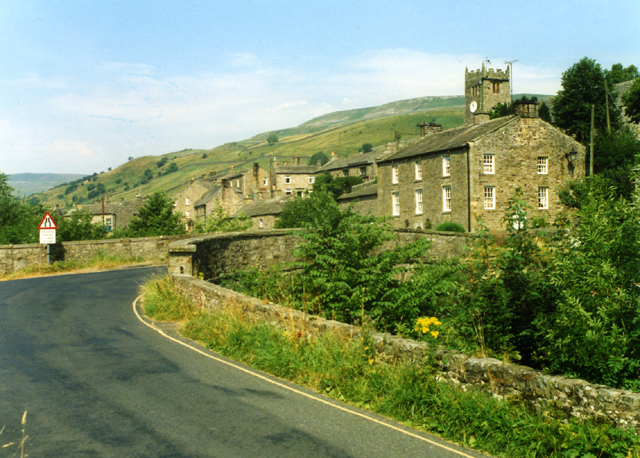
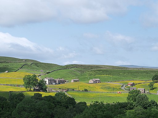
The walk starts in the village of Muker, located at the western end of beautiful Swaledale in North Yorkshire. From the car park you can pick up paths heading north towards the river, passing through the beautiful Muker Meadows which are covered in beautiful wildflowers during the summer months.
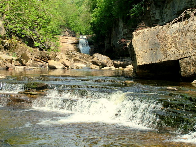
Riverside paths then take you up to West Arn Gill, Bracken Hill and Kisdon Force Waterfall. These stunning falls drop 10 metres (33 ft) over two cascades and are surrounded by Kisdon Force Woods with mixed broad-leaved woodland including ash, wych elm and rowan trees.
After enjoying the falls the route continues past East Stonesdale to Catrake Force. It's another photogenic spot, comprising of a series of 4 steps each with its own small waterfall. The largest single drop is about 20 feet (6.1 m). You continue along the path to Currack Falls or just cross the bridge to Keld. The village is the crossing point of the Coast to Coast Walk and the Pennine Way long-distance footpaths at the head of Swaledale. If you'd like to stop for refreshments then a tea room and small shop operate at Park Lodge from Easter to autumn. Out of season, local volunteers provide a self service café for visitors in the village’s Public Hall.
In Keld you can pick up the Pennine Way to return to Muker. The waymarked trail will lead you south past Birk Hill and North Gang Scar before coming into Muker where the walk finishes.
Muker to Keld Walk Ordnance Survey Map  - view and print off detailed OS map
Muker to Keld Walk Open Street Map  - view and print off detailed map
Muker to Keld Walk OS Map  - Mobile GPS OS Map with Location tracking
Muker to Keld Walk Open Street Map  - Mobile GPS Map with Location tracking
Pubs/Cafes
The Muker village tea shop was built in 1680 and retains much of its 'olde worlde charm' today. The historic building is a nice place for some refreshments after your walk. You can find it in the village at postcode DL11 6QH for your sat navs.
There's also The Farmers Arms pub in Muker. This traditional Yorkshire Dales pub boasts a welcoming atmosphere and prides itself on its’ well-kept local ales and tasty homemade food. With an open fire and a stone-flagged floor; muddy boots and well behaved dogs are always welcome. You can find the pub at postcode DL11 6QG
Further Information and Other Local Ideas
The noteworthy Buttertubs Pass is located just south west of the settlement. The road is one of the highest in the county and was used in the 2014 Tour de France as the second King of the Mountains climb. You could drive up to the top of the pass where there is a car park and viewpoint with a waterfall.
Cycle Routes and Walking Routes Nearby
Photos
Kisdon Force on River Swale. Bottom of a series of waterfalls that make up Kisdon Force on the River Swale. The lower part of the falls shown here is difficult to access unless the water level is quite low.
Kisdon Force, Swaledale. A good flow of water over these two striking falls in Spring. Well coloured from its peaty origins. The people are a group of fungus hunters on a spring foray of the Yorkshire Naturalists' Union.


