Nant Mill and Bersham Waterfall
![]()
![]() This walk follows a section of the Clywedog Trail from Nant Mill to Bersham near Wrexham.
This walk follows a section of the Clywedog Trail from Nant Mill to Bersham near Wrexham.
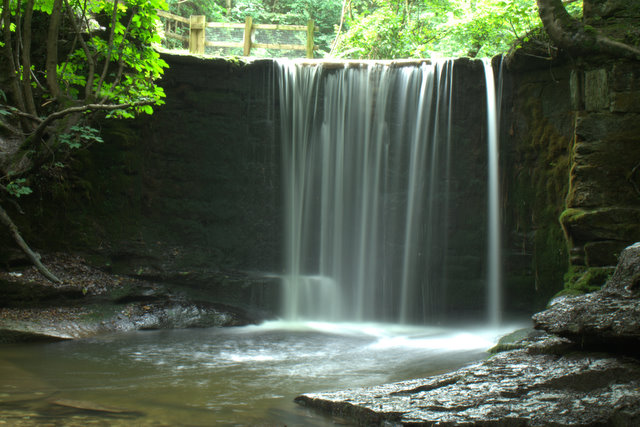
It's a lovely area with a country park, woodland trails, a riverside path along the Afon Clywedog and a pretty waterfall to see.
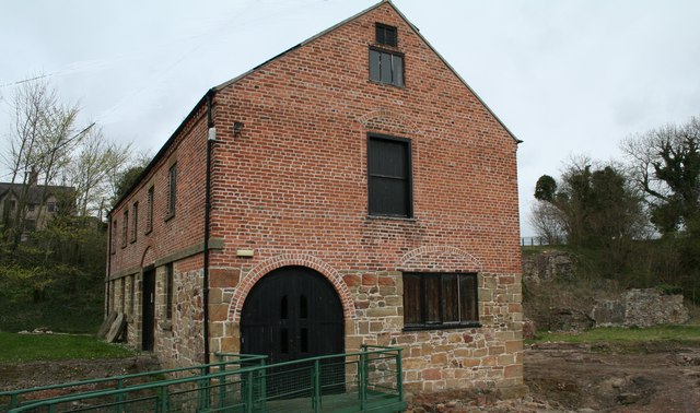
You can start the walk at the visitor centre and car park at Nant Mill. From here you can pick up the waymarked footpath heading east to the waterfall and then to Bersham Bridge. On the way you'll pass through Plas Power Woods where you can look out for a variety of woodland birds.
You can extend your outing by heading north into the village of Coedpoeth or south to the Ty Mawr Reservoir. Erddig Hall and Country Park is located just to the east of Bersham and well worth a visit.
Postcode
LL11 3BT - Please note: Postcode may be approximate for some rural locationsNant Mill and Bersham Waterfall Ordnance Survey Map  - view and print off detailed OS map
Nant Mill and Bersham Waterfall Open Street Map  - view and print off detailed map
Nant Mill and Bersham Waterfall OS Map  - Mobile GPS OS Map with Location tracking
Nant Mill and Bersham Waterfall Open Street Map  - Mobile GPS Map with Location tracking
Dog Walking
The woodland trails are ideal for dog walking so you'll probably meet some friendly dogs and their owners on your visit.
Further Information and Other Local Ideas
Just a few miles to the north west there's another scenic waterfall walk at Nant-y-Ffrith. Here you'll find a lovely wooded valley with streams, caves and waterfalls.
Continue along the Clywedog Trail and you could visit the nearby Minera Lead Mines and Quarry. Here you can learn all about the fascinating industrial past of the area at the mining museum.
Cycle Routes and Walking Routes Nearby
Photos
Y Bont Newydd ( The New Bridge ) Nant. An original postcard of this Bridge was offered for sale on eBAY, which prompted me to photograph it now that it was no longer New.
St Mary Esclusham, Bersham. The Church of Saint Mary is located in a wooded churchyard on the west side of Bersham Village. It was built by T L Fitzhugh, landowner of Plas Power for the use of his household and dependants. It was opened for divine service on the 6 January 1876, and it was consecrated as a private chapel on the 13th October 1883. The Architect was John Gibson, responsible for much of the work on the estate of Plas Power. The building remains a private chapel. The exterior is rock faced rubble in Cefn sandstone with freestone dressings, and leaded roof. In 2009 the roof is now zinc, not lead.


