Northala Fields
![]()
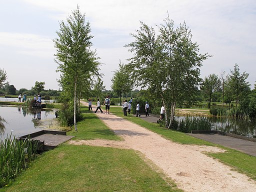
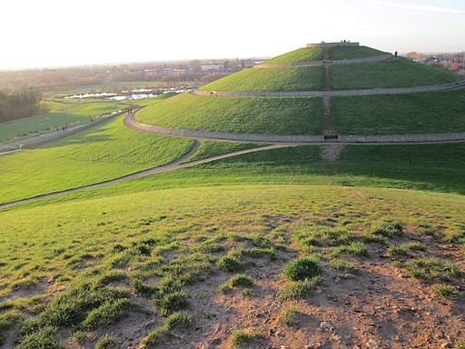
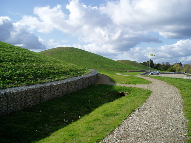
![]() This park in Northolt has some good cycling and walking trails to try. The main features of the park are the four artificial hills made out of the rubble from the old Wembley Stadium. You can climb the distinctive hills for great views over London and Canary Wharf. There's also a number of water features with fishing lakes, streams, wetlands and wildlife ponds. Other habitats include woodland, scrub, wildflower meadows and marshy grassland.
This park in Northolt has some good cycling and walking trails to try. The main features of the park are the four artificial hills made out of the rubble from the old Wembley Stadium. You can climb the distinctive hills for great views over London and Canary Wharf. There's also a number of water features with fishing lakes, streams, wetlands and wildlife ponds. Other habitats include woodland, scrub, wildflower meadows and marshy grassland.
The park has good facilities with a car park just off the A40 and another off Kensington Road. You can see the mounds and the car park on the google street view link below. If you are coming by public transport then Northolt tube is a short walk away.
For cyclists London Cycle Route 88 and National Cycle Route 6 run close to the site.
The park includes a visitor centre with a cafe and toilets. It is also home to a popular weekly park run.
Just to the north of the site is Belvue Park and the Northolt Manor nature reserve where you will find meadows, scrub, woodlands, wetlands and ponds. Rectory Park lies just to the south.
The Grand Union Canal runs just to the east of the park so you could pick this up to continue your exercise. If you follow it east you will soon come to Horsenden Hill where you will find meadows, wetland and woodland with splendid views over the city.
Also nearby is the Hillingdon Trail which you can follow along the Yeading Brook to the Yeadling Brook Nature Reserve and ten acre wood.
Postcode
UB5 6UR - Please note: Postcode may be approximate for some rural locationsNorthala Fields Ordnance Survey Map  - view and print off detailed OS map
Northala Fields Open Street Map  - view and print off detailed map
Northala Fields OS Map  - Mobile GPS OS Map with Location tracking
Northala Fields Open Street Map  - Mobile GPS Map with Location tracking
Explore the Area with Google Street View 
Further Information and Other Local Ideas
Also in Hillingdon is the popular Celandine Route. The trail runs along the River Pinn from Cowley to Pinner. It is named after the pretty Lesser Celandine flowers you can see on the walk.
Cycle Routes and Walking Routes Nearby
Photos
Smiths Farm Meadows & the east most mound at Northala Fields. The roof top of Smiths Farm can be seen in the middle distance. The mound is 18m in height and is the first in a series of four man-made mounds located in Northala Fields park as approached from the west bound A40. These mounds contain the rubble from the original Wembley Stadium and from the construction of the Westfield Shopping Centre, Shepherd's Bush.


