Paddington Canal
![]()
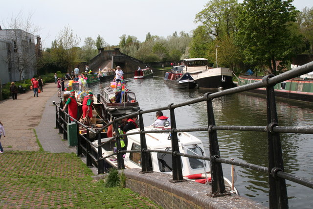
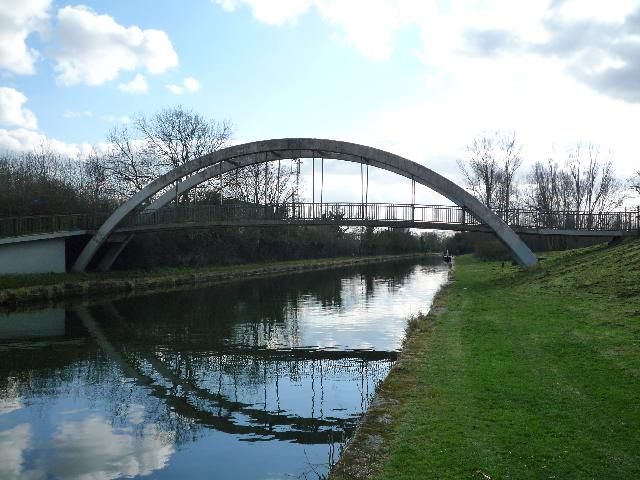
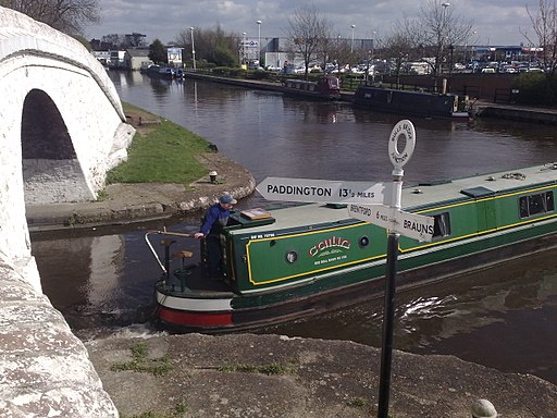
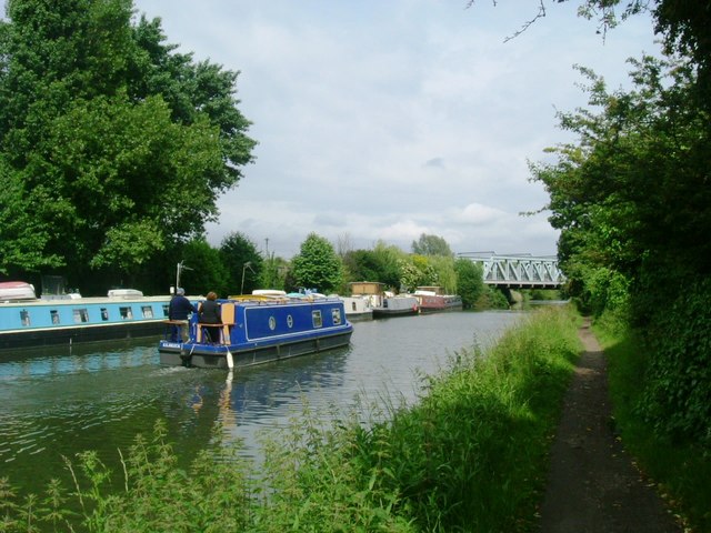
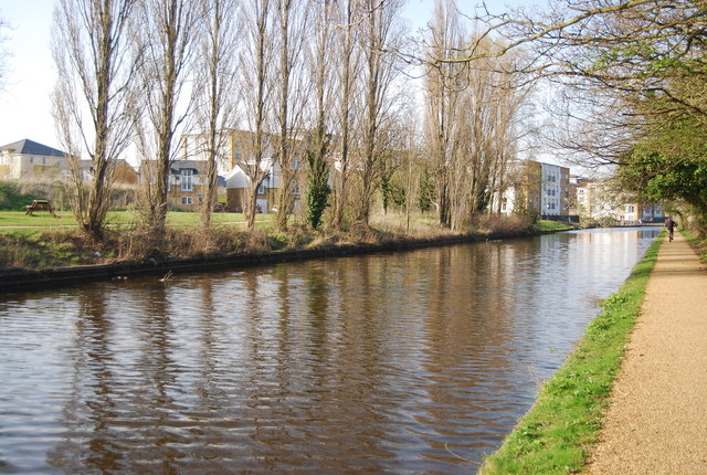
![]() Follow the Paddington Arm of the Grand Union Canal from Paddington to Hayes, on this canalside walk or cycle through West London. The canal is a great way to escape from the hustle and bustle of the city and enjoy some pleasant scenery. There's tree lined paths, pretty locks, lots of barges and plenty of water loving wildlife to look out for on the way.
Follow the Paddington Arm of the Grand Union Canal from Paddington to Hayes, on this canalside walk or cycle through West London. The canal is a great way to escape from the hustle and bustle of the city and enjoy some pleasant scenery. There's tree lined paths, pretty locks, lots of barges and plenty of water loving wildlife to look out for on the way.
You can start the walk from Paddington Basin just to the north of Paddington Station or at Little Venice just to the south of Warwick Avenue tube. Little Venice is very pretty with narrowboats, water cafes and a good selection of restaurants and bars. You can virtually explore the area using the google street view link below.
From Little Venice you head west passing Westbourne, Kensal Green, Harlesden and Alperton. Shortly after Alperton you come to the Horsenden Hill open space which is worth a small detour. The park includes nice walking trails including a hill climb with fine views over the city of London.
The next section sees the canal turn south through Northolt where you will pass Northala Fields. The pleasant park consists of four artificial hills made out of the rubble from the old Wembley Stadium. There's nice views from the hills with other features including fishing lakes, streams, wetlands and wildlife ponds.
The canal continues south through Southall before finishing at Hayes where the Paddington Arm joins with the main branch of the Grand Union Canal. Here you can extend you exercise by continuing to Yiewsley and Uxbridge where the canal runs along the River Colne.
Postcode
W9 2PF - Please note: Postcode may be approximate for some rural locationsPaddington Canal Ordnance Survey Map  - view and print off detailed OS map
Paddington Canal Open Street Map  - view and print off detailed map
Paddington Canal OS Map  - Mobile GPS OS Map with Location tracking
Paddington Canal Open Street Map  - Mobile GPS Map with Location tracking
Explore the Area with Google Street View 
Cycle Routes and Walking Routes Nearby
Photos
Paddington Arm, Grand Union Canal. Looking west from Ladbroke Grove bridge, the old roving bridge over the side-arm where coal barges entered the gasworks can be seen in the centre.
