Pilsdon Pen
![]()
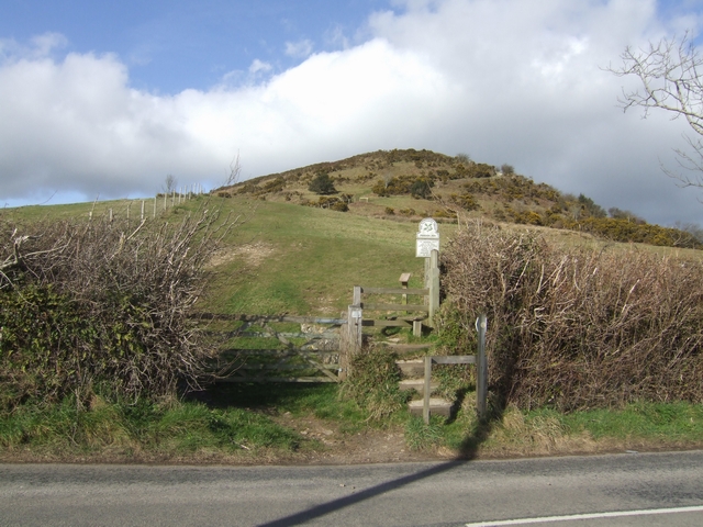
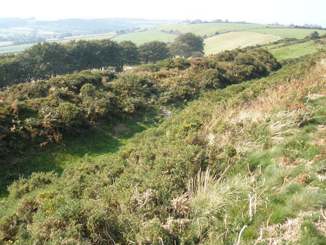
![]() Visit this prominent hill in Dorset and enjoy wonderful views over the county on this walk in Marshwood Vale. The hill is the second highest point in Dorset and has a fascinating history. It is topped by an Iron Age hill fort where the remains of 14 roundhouses have been uncovered. Flint tools over 10,000 years old and Bronze Age burial mounds have also been discovered in the area. In the late 18th century Dorothy and William Wordsworth lived nearby and were comforted by the surrounding hills as they were reminded of their native Lake District.
Visit this prominent hill in Dorset and enjoy wonderful views over the county on this walk in Marshwood Vale. The hill is the second highest point in Dorset and has a fascinating history. It is topped by an Iron Age hill fort where the remains of 14 roundhouses have been uncovered. Flint tools over 10,000 years old and Bronze Age burial mounds have also been discovered in the area. In the late 18th century Dorothy and William Wordsworth lived nearby and were comforted by the surrounding hills as they were reminded of their native Lake District.
The walk starts from a car park on the junction of Pilsdon Lane and Cockpit Hill. A short walk takes you to the 277 m (909 ft) high point where there are fabulous views of Marshwood Vale, the Golden Cap Estate the south coast and the Quantocks. You then follow the Wessex Ridgeway west before returning on an alternative bridleway.
If you would like to extend your walk you could visit the high point in Dorset by heading east to Lewesdon Hill.
Postcode
DT6 5NZ - Please note: Postcode may be approximate for some rural locationsPilsdon Pen Ordnance Survey Map  - view and print off detailed OS map
Pilsdon Pen Open Street Map  - view and print off detailed map
Pilsdon Pen OS Map  - Mobile GPS OS Map with Location tracking
Pilsdon Pen Open Street Map  - Mobile GPS Map with Location tracking
Explore the Area with Google Street View 
Pubs/Cafes
The pretty little village of Broadswindsor is located just to the north east of the hill. Here you'll find the White Lion pub which does good food and has a nice outdoor area for finer days. You can find the traditional stone pub in the village at a postcode of DT8 3QD for your sat navs. It's also very dog friendly if you have your canine friend with you. One nice idea is to turn it into a longer circular walk by heading east to Lewesdon Hill and then descending into Broadwindsor to refresh yourself at the White Lion.
Further Information and Other Local Ideas
To the east you can pick up the circular Beaminster Walk. It uses part of the Wessex Ridgeway to visit some local historical highlights including Toller Whelme Manor House, Parnham House and Mapperton House with its beautiful gardens.
Head a few miles south west and you could try the National Trust's Lamberts Castle to Coneys Castle Walk. The walk visits two more historic old hill forts with great views to enjoy.
For more walking ideas in the area see the Dorset Walks page.
Cycle Routes and Walking Routes Nearby
Photos
Broadwindsor village: view from Pilsdon Pen. The sun catches the tower of St. John the Baptist's church, Broadwindsor, while the surroundings are under cover of cloud. The village is a nice place to visit for a stroll and bit to eat after your exercise


