Ponteland Walks - Near and Around
![]()
![]() This Northumberland based town is located just east of Newcastle. The attractive town has some expensive residential areas which are popular with footballers and celebrities. For walkers there's some nice riverside trails along the River Pont in the pleasant town centre. There's also good countryside trails leading to the nearby Hadrian's Wall and the River Tyne which lie to the south of the settlement.
This Northumberland based town is located just east of Newcastle. The attractive town has some expensive residential areas which are popular with footballers and celebrities. For walkers there's some nice riverside trails along the River Pont in the pleasant town centre. There's also good countryside trails leading to the nearby Hadrian's Wall and the River Tyne which lie to the south of the settlement.
This walk from the town takes you to the neighbouring village of Heddon on the Wall where you can pick up the epic Hadrian's Wall Path and follow it to Whittle Dene Reservoir.
The walk starts on the River Pont in the town centre and then follows a dismantled railway line south west through Darras Hall. This will take you out into the countryside around Medburn where you pick up trails heading south to Breckney Hill and Heddon on the Wall. Here you pick up the waymarked National Trail and follow it west along the wall to the Vindobala Roman Fort at Rudchester. The fort guards the valley of the March Burn to the west, an ancient route leading to the south towards the Tyne ford at Newburn. The name Vindobala means “White Strength” with the troops recruited from a coastal tribe of Lower Germany. At the site there's an information board which will tell you all about the history of the area.
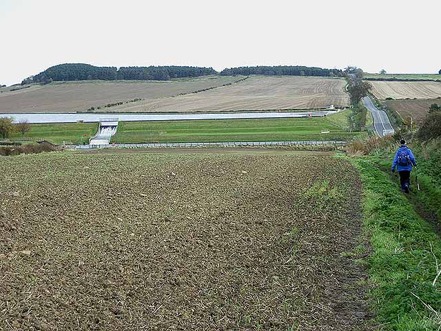
From the fort you continue west to Harlow Hill before coming to Whittle Dene Reservoir. There are nice trails you can follow around the large lake before returning to Ponteland on the same paths. Part of this walk is coincident with the Newcastle Walk which starts in the nearby city and visits the Tyne Riverside Country Park in Ovingham.
For an alternative circular walk around the town see the video below. This walk takes you to some of the highlights in the town including the riverside Ponteland Park and the historic 1400 Pele tower.
Ponteland Ordnance Survey Map  - view and print off detailed OS map
Ponteland Open Street Map  - view and print off detailed map
*New* - Walks and Cycle Routes Near Me Map - Waymarked Routes and Mountain Bike Trails>>
Ponteland OS Map  - Mobile GPS OS Map with Location tracking
Ponteland Open Street Map  - Mobile GPS Map with Location tracking
Pubs/Cafes
The Blackbird Inn is a great choice for some post walk refreshments. The pub is historically significant having originally been a castle built by warriors in the 14th century. The signing of a peace treaty between Henry III of England & Alexander of Scotland, took place on the knoll of the marshes, where The Blackbird stands today. They have a good menu and a log fire in the cosy interior. Outside there's lots of tables where you can enjoy your meal on warmer days. You can find them on North Road with a postcode of NE20 9UH for your sat navs.
Dog Walking
The country trails make for a fine dog walk and The Blackbird Inn mentioned above is also dog friendly.
Further Information and Other Local Ideas
Head south of the town and you could pick up the popular Newburn to Wylam Walk. This circular route will take you along both sides of the River Tyne, visiting the National Trust's Stephenson's Cottage at Wylam. Here you can learn all about the life of railway pioneer George Stephenson who was born at the cottage.
For more walking ideas in the area see the Northumberland Walks page.
Cycle Routes and Walking Routes Nearby
Photos
Nice photo of the River Pont in Ponteland. View of the river with St Mary's Church in the background.
Diamond Inn and houses. The pub is beside Ponteland Bridge, very much at the central focus of the town.


