Heddon on the Wall Walks
![]()
![]() This village in Northumberland is located on the Hadrian's Wall Path National Trail.
This village in Northumberland is located on the Hadrian's Wall Path National Trail.
It's a significant spot which includes the longest section of unbroken wall at its original and planned width, now known as Broad Wall. The area also includes the noteworthy St Andrew's church where you'll find Saxon features dating back to 680AD.
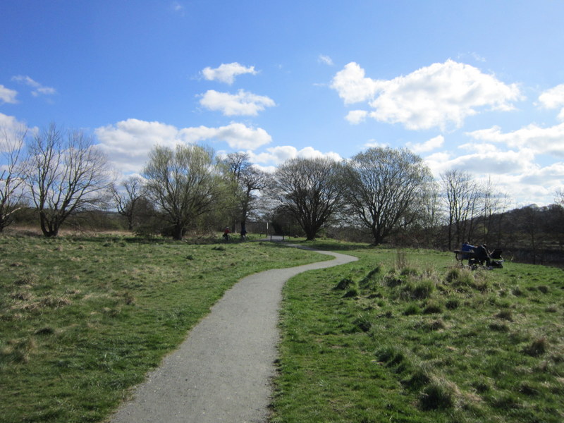
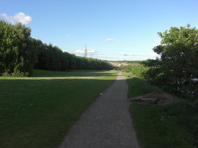
This walk from the village takes you along a section of the trail to visit the Tyne Riverside Country Park. The park features 200 acres of meadows, chalk grassland, woodland and river bank. It's located just over a mile south east of the village.
On the way you will also enjoy a riverside section along the River Tyne which flows just to the south of the settlement.
You can extend the walk by heading west along the river to visit Wylam. Here you could pay a visit to Stephenson's Cottage, the birthplace of railway pioneer, George Stephenson.
For more information on the history of this section of the wall see the informative English Heritage page.
Postcode
NE15 0ED - Please note: Postcode may be approximate for some rural locationsHeddon on the Wall Ordnance Survey Map  - view and print off detailed OS map
Heddon on the Wall Open Street Map  - view and print off detailed map
*New* - Walks and Cycle Routes Near Me Map - Waymarked Routes and Mountain Bike Trails>>
Heddon on the Wall OS Map  - Mobile GPS OS Map with Location tracking
Heddon on the Wall Open Street Map  - Mobile GPS Map with Location tracking
Walks near Heddon on the Wall
- Wylam - This pleasant riverside village is located in a lovely spot, a few miles west of Newcastle
- Hadrian's Wall Path - Starting in Wallsend near the east coast of England, head across the country to Bowness-on-Solway along this wonderful trail that follows the famous Roman wall
- Tyne Riverside Country Park - This park follows the River Tyne for four miles through 200 acres of meadows, chalk grassland, woodland and river bank
- Hadrian's Wall Path - Starting in Wallsend near the east coast of England, head across the country to Bowness-on-Solway along this wonderful trail that follows the famous Roman wall
- Gateshead - This major north east town has a number of good options for walkers with two significant waymarked trails running through the area
- Whittle Dene Reservoir - Enjoy a circular walk around this scenic group of reservoirs next to Hadrian's Wall
- Newburn to Wylam Walk - This circular walk takes you from Newburn to Wylam along a section of the River Tyne
- Ponteland - This Northumberland based town is located just east of Newcastle
- Ovingham - These two neighbouring villages are located in a pleasant spot on the River Tyne in Northumberland.
- Keelmans Way - This 10 mile walking and cycling trail runs along the River Tyne from Wylam to the upper reaches of the Tyne and the Derwent Walk Country Park in Gateshead
- Clara Vale - This small village is located on the south bank of the River Tyne to the west of Newcastle in Tyne and Wear
Pubs/Cafes
The Three Tuns is located at 1 Military Rd, NE15 0BQ. They do a fine Sunday roast and have a garden area.


