Port Isaac Walks - Port Isaac to Port Quin Walk
![]()
![]() This picturesque Cornish village will be familiar to viewers of ITV's 'Doc Martin' show with Martin Clunes. The little fishing village includes a delightful harbour surrounded by cliffs and countryside made famous in the TV show. There's also a number of winding narrow streets with interesting 18th century cottages to see.
This picturesque Cornish village will be familiar to viewers of ITV's 'Doc Martin' show with Martin Clunes. The little fishing village includes a delightful harbour surrounded by cliffs and countryside made famous in the TV show. There's also a number of winding narrow streets with interesting 18th century cottages to see.
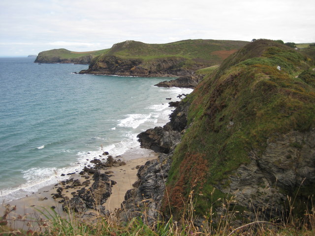
This circular walk takes you from the village along the coast to the nearby Port Quin. It's a popular walk, taking place on an undulating path with lots of little coves and fine views of Port Quin Bay to enjoy on the way.
The walk starts in the village where you can pick up the South West Coast Path and follow it north along The Haven to Lobber Point. You then head west past Pine Haven, Varley Head, Greengarden Cove, Scarnor Point, Downgate Cove and Kellan Head before arriving at Port Quin. If you head a little further up the coast you can visit the 19th century folly of Doyden Castle where there are fine views back down to the bay.
The route then returns to Port Isaac by following and inland footpath east past Roscarrock.
Port Isaac Ordnance Survey Map  - view and print off detailed OS map
Port Isaac Open Street Map  - view and print off detailed map
Port Isaac OS Map  - Mobile GPS OS Map with Location tracking
Port Isaac Open Street Map  - Mobile GPS Map with Location tracking
Pubs/Cafes
Back in Port Isaac head to the Golden Lion for some post walk refreshments. The charming 18th century pub includes the ‘Bloody Bones Bar’ which boasts a smuggling tunnel leading down onto a causeway on the beach. Inside is full of character with a cosy fire and friendly atmosphere. Outside there's terraces with a fabulous view of the harbour and cliffs. It's the perfect spot to enjoy some delicious fish and chips on a fine day. You can find them by the harbour at 10 Fore Street with a postcode of PL29 3RB for your sat navs.
Dog Walking
The coastal and country paths are ideal for a bracing dog walk. The Golden Lion pub mentioned above is also dog friendly.
Further Information and Other Local Ideas
Head north from the village and you can visit one of the highlights of the area at Tintagel. Here you'll find a spectacular coastal castle steeped in Arthurian legend. To reach the castle on foot from the village see the Tintagel to Port Isaac Walk.
Continue west along the coast path on the Polzeath to Port Isaac Walk and you will come to Pentire Point and the lovely surfing beach at Polzeath. Here you can pick up the Rock to Polzeath Walk which runs along the Camel Estuary across from Padstow.
From Rock you can catch the ferry over Padstow on the other side of the river. Here you can pick up the Padstow to Harlyn Bay Walk, the Padstow to Trevone Bay Walk and the Stepper Point Walk. There's also the popular Camel Trail, a shared cycling and walking trail running along the river to Wadebridge.
For more walking ideas in the area see the Cornwall Walks page.
Cycle Routes and Walking Routes Nearby
Photos
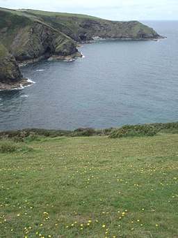
Port Isaac. A view of the Haven from the coastal path on the east side of the Haven, looking more or less west.
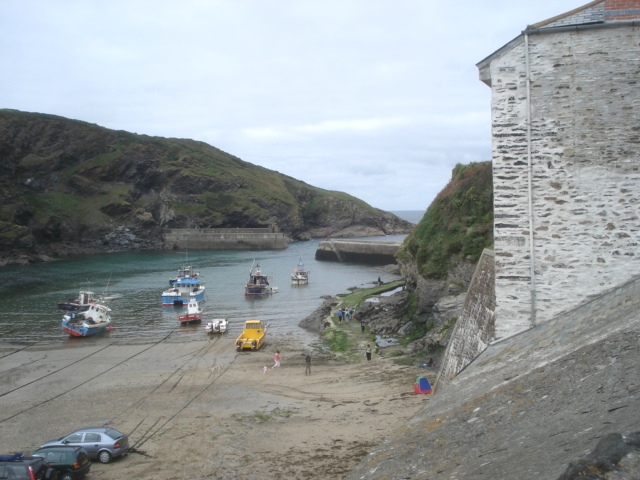
Port Isaac harbour. Once a busy trading and fishing harbour, but very much a tourist destination now. The port dates from Saxon times. By the 16th century trade was mainly in pilchards, reaching a high point in the 19th century. In 1850 there were 49 fishing boats based here. When I was a child in the 1960s, this was a quiet place where us local Cornish people came to get away from the crowds, but no longer! The Doc Martin series has made it even more popular


