Porthcawl to Ogmore Coastal Walk
![]()
![]() A walk from Porthcawl to Ogmore by Sea along a lovely section of the Wales Coast Path. Along the way you'll pass pretty beaches and enjoy views of the River Ogmore as you approach the end of the route. There's also a visit to the splendid Merthyr Mawr Sand Dunes and Ogmore Castle.
A walk from Porthcawl to Ogmore by Sea along a lovely section of the Wales Coast Path. Along the way you'll pass pretty beaches and enjoy views of the River Ogmore as you approach the end of the route. There's also a visit to the splendid Merthyr Mawr Sand Dunes and Ogmore Castle.
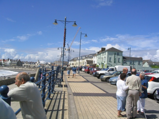
The walk starts by Porthcawl Harbour and follows the path north and then east past Sandy Bay where there's the Coney Beach fairground and a large sheltered, sandy beach.
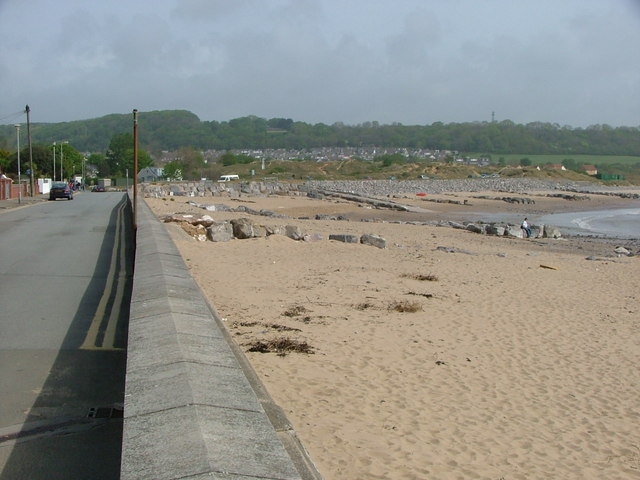
You continue past Trecco Bay to Newton Burrows and the noteworthy Merthyr Mawr National Nature Reserve. The reserve includes miles of wonderful sand dunes including the 'Big Dipper', the highest dune in Wales. You can take a detour from the path to explore the dunes with its diverse range of flora and fauna.
The path then takes you to the Ogmore Estuary at the eastern end of the Traeth yr Afon beach. It's a good place to look out for wading birds such as Redshank and Shelduck. The route heads along the river and then through the sand dunes and woodland of Merthyr Mawr, passing the interesting ruins of the 14th century Candleston Castle on the way.
The final section crosses the Ogmore River and the Ewenny River before finishing in the village of Ogmore. Here you can pay a visit to the Grade I listed Ogmore Castle. The 12th century castle is located in a photogenic position on the south bank of the River Ewenny and the east bank of the River Ogmore. The grounds are also very attractive with sea views and a popular set of stepping stones across the river.
In Ogmore you can pick up the Bridgend Circular Walk. The long distance trail explores the countryside and villages surrounding the popular town.
Just to the north of Porthcawl you will find the Kenfig Nature Reserve. The site includes more sand dunes and the Kenfig Pool, Glamorgan's largest lake.
Porthcawl to Ogmore Coastal Walk Ordnance Survey Map  - view and print off detailed OS map
Porthcawl to Ogmore Coastal Walk Open Street Map  - view and print off detailed map
*New* - Walks and Cycle Routes Near Me Map - Waymarked Routes and Mountain Bike Trails>>
Porthcawl to Ogmore Coastal Walk OS Map  - Mobile GPS OS Map with Location tracking
Porthcawl to Ogmore Coastal Walk Open Street Map  - Mobile GPS Map with Location tracking
Pubs/Cafes
The Watermill is a notable pub located on the river Ewenny in Ogmore village. There's a lovely outdoor seating area with views of the picturesque countryside surrounding the pub. It's a great place to relax on summer days and watch the horses graze in the adjacent field. Indoors there's an attractive interior with a cosy atmophere. There's a very good menu and the pub is also very dog friendly. You can find it on the Ogmore Road at a postcode of CF32 0QP for your sat navs.
Further Information and Other Local Ideas
On the western side of the town you'll find the popular Rest Bay where there's a fine beach and footpath leading towards the Kenfig Pool Nature Reserve, where you can look out for a variety of wildlife. The pleasant walk along Aberavon Sands in Port Talbot is just west of here.


