Portland Basin
![]()
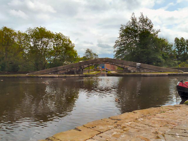
![]() The Portland Basin is situated next to several canals and a river making it a great place to start a walk. This route takes you along the Peak Forest Canal and the Tame Valley Way to the south of the basin.
The Portland Basin is situated next to several canals and a river making it a great place to start a walk. This route takes you along the Peak Forest Canal and the Tame Valley Way to the south of the basin.
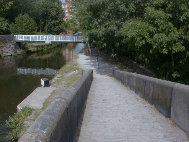
The walk starts from the Portland Basin museum on Ashton-under-Lyne, Greater Manchester. From here you can pick up a waymarked trail heading south along the canal past Dukinfield and Hyde. Here you cross the canal to Haughton Green and turn north along the Tame Valley Way. The riverside path heads through Kingston before linking with the canal again. A short stretch along the towpath then takes you back to the museum.
There's lots of other good options for continuing your walking around Portland Basin. For example you could pick up the Ashton Canal and head west to visit Audenshaw Reservoir. The Huddersfield Narrow Canal branches out to the east and can be followed toward Stalybridge where there's more views of the River Tame and the lovely Stalybridge Country Park.
Portland Basin Ordnance Survey Map  - view and print off detailed OS map
Portland Basin Open Street Map  - view and print off detailed map
Portland Basin OS Map  - Mobile GPS OS Map with Location tracking
Portland Basin Open Street Map  - Mobile GPS Map with Location tracking
Pubs/Cafes
There's an excellent canalside cafe next to the museum, where you can enjoy refreshments after your walk. There's a good menu and outdoor seating where you can sit and watch the boats go by on finer days. You can even take a boat trip from here and experience the canal from a different perspective.
Further Information and Other Local Ideas
The Portland Basin Museum is well worth exploring if you have time. It's housed within the restored nineteenth century Ashton Canal Warehouse and combines a lively modern interior with a peaceful canal side setting. Interesting exhibitions detail the history of Tameside's industrial heritage.
Cycle Routes and Walking Routes Nearby
Photos
Ahead is the start of the Peak Forest Canal. Left is the Huddersfield Canal. Right is the Ashton Canal.
Portland Basin Museum, Ashton Canal Warehouse. The interesting museum is housed within the restored nineteenth century Ashton Canal Warehouse, covering the area's industrial heritage. The warehouse was built in 1834, and interprets aspects of local history, industry and trades. Exhibits include a 1920s period street with shops, period room displays and historic machines.


