Ashton Canal
![]()
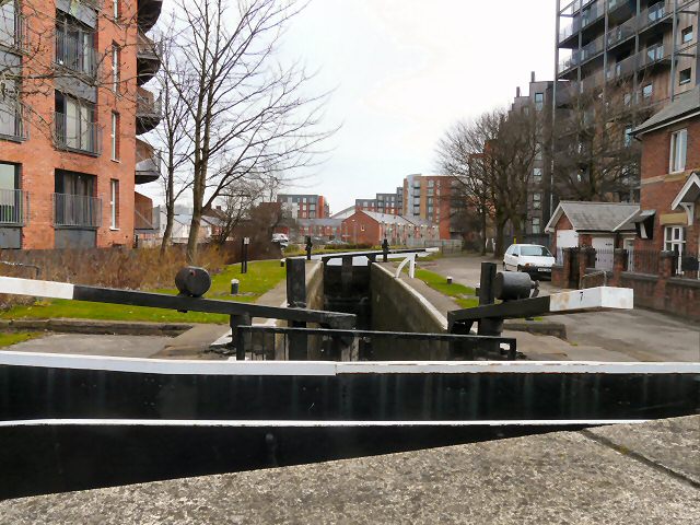
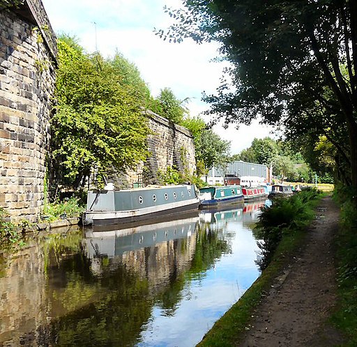
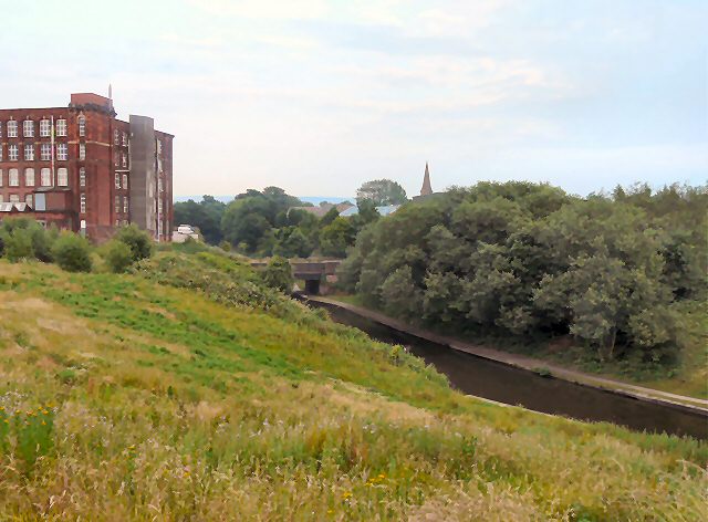
![]() Enjoy a waterside walk or cycle along this 6 mile long canal in Manchester. The canal runs from central Manchester to Ancoats, Bradford-with-Beswick, Clayton, Openshaw, Droylsden, Fairfield and Audenshaw before finishing at Ashton-under-Lyne where it meets the Huddersfield Narrow Canal. Walkers and cyclists can enjoy the whole route along the towpath. National Cycle Network Route 60 runs along the first section of the canal and a local cycle route takes you the rest of the way. Along the way you'll pass 18 locks, Manchester City Football Stadium, Manchester Velodrome and Philips Park. You can take short detours from the canal to visit some nearby attractions too. For example at Audenshaw you could head just south of the canal and visit Debdale Park and enjoy a walk around Gorton Reservoir. At the velodrome you can take a short trip north of the canal and visit Clayton Vale where there is a nature reserve with miles of walking trails and some great mountain bike trails.
Enjoy a waterside walk or cycle along this 6 mile long canal in Manchester. The canal runs from central Manchester to Ancoats, Bradford-with-Beswick, Clayton, Openshaw, Droylsden, Fairfield and Audenshaw before finishing at Ashton-under-Lyne where it meets the Huddersfield Narrow Canal. Walkers and cyclists can enjoy the whole route along the towpath. National Cycle Network Route 60 runs along the first section of the canal and a local cycle route takes you the rest of the way. Along the way you'll pass 18 locks, Manchester City Football Stadium, Manchester Velodrome and Philips Park. You can take short detours from the canal to visit some nearby attractions too. For example at Audenshaw you could head just south of the canal and visit Debdale Park and enjoy a walk around Gorton Reservoir. At the velodrome you can take a short trip north of the canal and visit Clayton Vale where there is a nature reserve with miles of walking trails and some great mountain bike trails.
To extend your walk you can continue along the Huddersfield Narrow Canal in Ashton-under-Lyne.
The canal leaves Manchester and heads into the lovely countryside of the Peak District and Pennine Hills before finishing at Huddersfield.
Ashton Canal Ordnance Survey Map  - view and print off detailed OS map
Ashton Canal Open Street Map  - view and print off detailed map
Ashton Canal OS Map  - Mobile GPS OS Map with Location tracking
Ashton Canal Open Street Map  - Mobile GPS Map with Location tracking
Pubs/Cafes
On the route stop at the impressively named Strawberry Duck in Clayton for some refreshments. It's a friendly pub with an open fire and a lovely beer garden next to the canal. You can find it at 76 Crabtree Lane with a postcode of M11 4GU for your sat navs.
At Portland Basin there's an excellent museum with an adjacent cafe. There's a good menu and outdoor seating where you can sit and watch the boats go by on finer days. You can even take a boat trip from here and experience the canal from a different perspective. The Portland Basin Museum is also well worth exploring if you have time. It's housed within the restored nineteenth century Ashton Canal Warehouse and combines a lively modern interior with a peaceful canal side setting. Inside you can see a series of interesting exhibitions detailing the history of Tameside's industrial heritage.
Further Information and Other Local Ideas
The Manchester Cycleway passes along part of the canal. The popular cycle trail will take you to some of the local highlights, starting in Chorlton and finishing at the velodrome.


