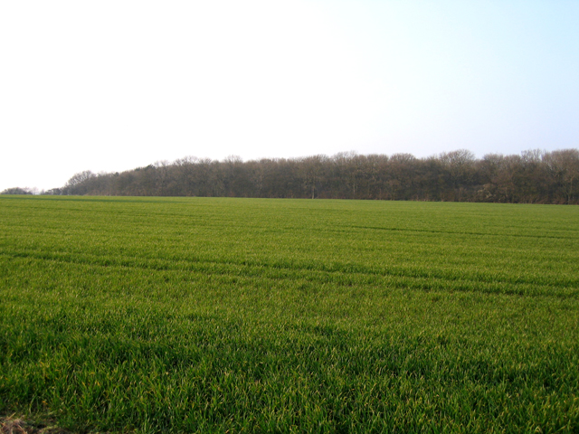
Potton Wood
![]()
![]() These peaceful woods are located a couple of miles east of the small town of Potton in Bedfordshire.
These peaceful woods are located a couple of miles east of the small town of Potton in Bedfordshire.
There's some nice trails running through the small wood, including the waymarked Clopton Way. You can start the walk from the parking area on Hatley Road, next to the Water Tower. It's located just west of the little village of Cockayne Hatley. From here you can follow the Clopton Way north to enter the woods where there are a few different trails to try.
The area is great for flora and fauna with the spring bluebells particularly popular. You can also look out for birds including nightingale, chiffchaff blackcap, whitethroat and European turtle dove.
To continue your walking head a short distance east to pick up the Hatley and Hayley Wood Circular Walk.
Postcode
SG19 2EA - Please note: Postcode may be approximate for some rural locationsPotton Wood Ordnance Survey Map  - view and print off detailed OS map
Potton Wood Open Street Map  - view and print off detailed map
*New* - Walks and Cycle Routes Near Me Map - Waymarked Routes and Mountain Bike Trails>>
Potton Wood OS Map  - Mobile GPS OS Map with Location tracking
Potton Wood Open Street Map  - Mobile GPS Map with Location tracking
Pubs/Cafes
Head into nearby Potton town and you can visit The Rising Sun. They serve good food and have a nice balcony to sit out on during the summer months. You can find them at 11 Everton Rd, Potton with postcode SG19 2PA. The historic market town is also a pleasant place for a stroll afterwards.
Dog Walking
The woodland trails are a good place to bring your dog for a walk.
Further Information and Other Local Ideas
The woods are located close to Biggleswade and Sandy where you can enjoy river walks and a visit to the headquarters of the RSPB at the Lodge Nature Reserve.
If you follow the Clopton Way from the woods you could visit the stunning gardens at the historic Wimpole Hall. Near here there's also the new settlement of Cambourne. There's some pleasant walks around this modern village with a lovely local nature reserve to explore. The wildlife rich reserve includes pretty lakes, wildflower meadows and wetland areas. On the walk you can also visit the ancient Bourn Windmill, the oldest surviving windmill in the United Kingdom.
Just to the south east there's the pretty village of Therfield and the popular Royston Heath. The heath is well worth a vist with its fine viewpoint and interesting wildlife. The site also includes a decent on site cafe with outdoor seating overlooking the heath.
For more walking ideas in the area see the Bedfordshire Walks page.


