Kingfisher Way
![]()
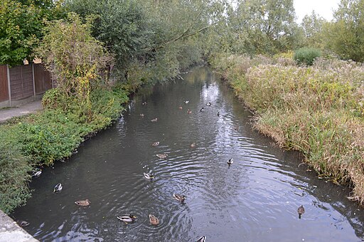
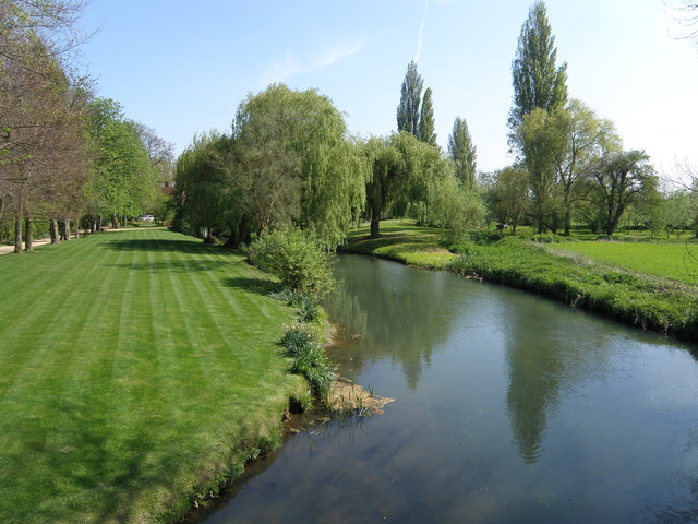
![]() This is a delightful walk along the River Ivel from Baldock to Roxton. You start off at the source of the river at Ivel springs, Baldock, and follow the river north through Stotfold, Henlow, Langford, Biggleswade, Sandy and Blunham.
This is a delightful walk along the River Ivel from Baldock to Roxton. You start off at the source of the river at Ivel springs, Baldock, and follow the river north through Stotfold, Henlow, Langford, Biggleswade, Sandy and Blunham.
Walk highlights are the series of pretty, riverside villages with historic churches and watermills.
Wildlife lovers will enjoy the Henlow Common and Langford Meadow Nature Reserve at Langford. This 50 acre reserve is home to a variety of wildlife and consists of grassland, scrubland, native trees, bushes and a running stream.
Also of interest is the Warren Villas Nature Reserve where there is also a plethora of water loving wildlife. The reserve features an island lake, home to wintering wildfowl and in summer breeding terns. The reserve is on route and situated just to the north of Biggleswade.
Other highlights include the 17th century Henlow Grange and park which is now used as a health and beauty farm visited by the rich and famous.
Please click here for more information
Kingfisher Way Ordnance Survey Map  - view and print off detailed OS map
Kingfisher Way Open Street Map  - view and print off detailed map
*New* - Walks and Cycle Routes Near Me Map - Waymarked Routes and Mountain Bike Trails>>
Kingfisher Way OS Map  - Mobile GPS OS Map with Location tracking
Kingfisher Way Open Street Map  - Mobile GPS Map with Location tracking
Pubs/Cafes
One nice place to stop for a rest and refreshment is the splendid Jordan's Mill near Biggleswade. The site includes the delightful Riverside Café where you can sit outside and enjoy rest and refreshment with views over the river. There's also some lovely wildlflower gardens surrounding the historic Victorian flour mill. At the site you can learn all about Bedfordshire's interesting flour production history from the excellent your guides. You can find the mill on the route at postcode SG18 9JX for your sat navs.
In Henlow there's the Engineer's Arms. The pub dates from 1830 and serves a fine range of ales. Celebrities can sometimes be seen in the pub, coming from the nearby Champneys Health farm. You can find them at 68 High Street, SG16 6AA.
The Plough in Langford is located at 77 Church Street, SG18 9QA. The pub dates back to 1846 and includes 3 large gardens areas with a floodlit Petanque court. It's a popular spot to relax and enjoy a drink during the warmer months. There is a car park and they are also dog friendly.
Further Information and Other Local Ideas
In Sandy you will pass very close to the Lodge Nature Reserve. The reserve is notable as the headquarters for the RSPB and includes an excellent visitor centre, formal gardens, woodland, heathland and lots of wildlife. It is worth a small detour east from the route just before you reach Sandy.
For more walking ideas in the area see the Bedfordshire Walks and the Hertfordshire Walks pages.
Cycle Routes and Walking Routes Nearby
Photos
Spring feeding the Ivel at Radwell. This spring moves around. When there has been more rainfall, water emerges from further away from the Ivel (which runs through the bushes in this shot). There is a water course marked on the map and the spring may emerge from a number of places along it. It is in Ivel Springs Local Nature Reserve.
Elevation Profile

Video
GPS Files
GPX File
Kingfisher Way.gpx (On Desktop:Right Click>Save As. On Ipad/Iphone:Click and hold>Download Linked File)NB GPS file for this route only details route start - route is waymarked from there in


