Prestwood Walks
![]()
![]() This Buckinghamshire based village is located in the Chiltern Hills just west of Great Missenden.
This Buckinghamshire based village is located in the Chiltern Hills just west of Great Missenden.
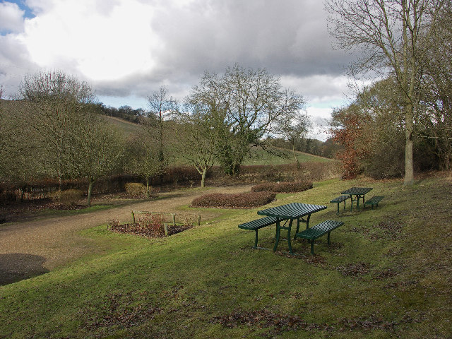
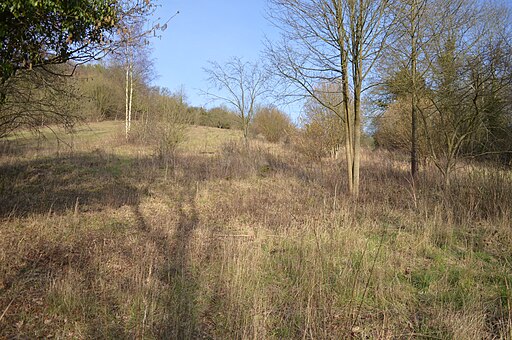
This walk visits the Prestwood Local Nature Reserve which is located just south west of the village. The pleasant little reserve is a nice place for a short stroll with wildflowers, chalk grassland and lots of wildlife to see. Trees include maple, cherry, beech, walnut and even the rare wild pear.
You may also see wildlife including mice, voles, muntjac deer and a variety of birds.
The walk can be started from the car park off Hampden Road near Perks Lane. There's also some picnic tables.
Prestwood Ordnance Survey Map  - view and print off detailed OS map
Prestwood Open Street Map  - view and print off detailed map
Prestwood OS Map  - Mobile GPS OS Map with Location tracking
Prestwood Open Street Map  - Mobile GPS Map with Location tracking
Walks near Prestwood
- Great Missenden - Enjoy a circular walk around the village of Great Missenden in the Chilterns
- Coombe Hill - Climb to the 260 m (850 ft) summit of this lovely hill in the Chilterns
- Wendover Woods - Enjoy miles of great cycling and walking trails in this large forest in Buckinghamshire
- Grand Union Canal Walk - Follow the towpath of Britain's longest canal from London to Birmingham on this fabulous waterside walk
- Chiltern Heritage Trail - Travel through the Chilterns Hills on this splendid circular walk and visit numerous delightful hamlets, villages and towns in Buckinghamshire
- Little Missenden - This delightul Buckinghamshire village has some nice country and river walking trails to try
- Shardeloes - This circular walk visits the lovely Shardeloes Park and Lake near Amersham in Buckinghamshire
- Hughenden Manor Park - The 1,500 acres of parkland surrounding the red brick Victorian mansion of Hughenden Manor is great for a short walk in lovely surroundings
- Downley Common - This walk visits Downley Common next to the Buckinghamshire village of Downley in the Chilterns near High Wycombe.
- Penn Wood - This walk visits Penn Wood near High Wycombe and Amersham in Buckinghamshire.
- Haddington Hill - Enjoy a climb to the highest point in the county of Buckinghamshire on this circular walk in Wendover Woods.
There's a car park located very close to the hill summit from which you can start the walk
Pubs/Cafes
The Polecat Inn is located just east of the reserve and south of the village. It's an historic pub dating back to the 17th century when it was originally a hunting lodge. They serve a fine Sunday roast and have a nice garden to sit out in on warmer days. The pub can be found at 170 Wycombe Rd, HP16 0HJ.


