Putney to Richmond River Walk
![]()
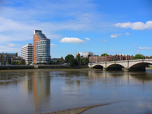
![]() Follow the Thames Path from Putney to Richmond on this easy waterside walk in London. The walk runs for just under 9 miles, passing a number of the highlights of the area.
Follow the Thames Path from Putney to Richmond on this easy waterside walk in London. The walk runs for just under 9 miles, passing a number of the highlights of the area.
You start off at Putney Bridge and head north west passing Barnes where there's some nice trails on Barnes Common and lots of wildlife to see at the London Wetland Centre. You continue past Hammersmith Bridge, Barnes Bridge, Chiswick Bridge and Kew Bridge before coming to the famous Kew Gardens.
The river path runs along side the gardens and the Old Deer Park with Syon Park on the other side of the water. The final stretch takes you past the pretty Richmond Lock before coming to the end of the route at Richmond Bridge.
You can extend the walk by heading to the lovely gardens at Marble Hill Park or exploring the expansive Richmond Park. To continue along the river try the Richmond to Kingston Walk.
Putney to Richmond River Walk Ordnance Survey Map  - view and print off detailed OS map
Putney to Richmond River Walk Open Street Map  - view and print off detailed map
Putney to Richmond River Walk OS Map  - Mobile GPS OS Map with Location tracking
Putney to Richmond River Walk Open Street Map  - Mobile GPS Map with Location tracking
Further Information and Other Local Ideas
On the walk you could take a small detour to visit the popular Crane Park in Twickenham. The peaceful park includes an informative visitor centre, a cafe, woodland trails along the River Crane, lots of wildlife and the interesting 18th century Shot Tower. Just north of here you can also reach the historic Cranford Country Park on the riverside trail.


