Puttles Bridge
![]()
![]() This walk starts from the Puttles Bridge car park near Brockenhurst in the New Forest.
This walk starts from the Puttles Bridge car park near Brockenhurst in the New Forest.
The car park is a popular place for starting a walk with nice trails along Ober Water and around the adjacent Aldridgehill Inclosure. This circular walk also takes you up to the nearby Rhinefield House, a fine hotel set in a former manor house.
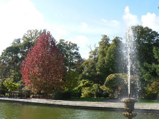
The walk starts from the car park on the Rhinefield Road, just to the west of Brockenhurst. From here you can pick up footpaths heading east along the pretty Ober Water. The route then turns around to pass through the woodland trails in the Aldridgehill Inclosure and the Clumber Inclosure before coming to Rhinefield House. This old manor house is now a hotel surrounded by beautiful grounds which include ornamental ponds, gardens and a fountain. You can stop here for afternoon tea in the Conservatory or on the outdoor terrace where there are wonderful views to the pond. Afterwards you can enjoy a stroll around the delightful grounds.
After exploring the hotel you can head south to return to the car park where the walk finishes.
Postcode
SO42 7QB - Please note: Postcode may be approximate for some rural locationsPuttles Bridge Ordnance Survey Map  - view and print off detailed OS map
Puttles Bridge Open Street Map  - view and print off detailed map
Puttles Bridge OS Map  - Mobile GPS OS Map with Location tracking
Puttles Bridge Open Street Map  - Mobile GPS Map with Location tracking
Further Information and Other Local Ideas
Head a short distance north of the hotel and you can pick up the Rhinefield Ornamental Drive Tall Trees Walk in the wonderful Blackwater Arboretum. Here you'll find towering Douglas fir, Giant Sequoia, mighty redwoods and majestic conifers planted in the 1850s.
Just to the south you can explore Whitefield Moor. The moor is a nice open area of grassland with ponies and horses grazing. There are some waymarked trails to be found here.
For more walking ideas in the area see the New Forest Walks page.
Cycle Routes and Walking Routes Nearby
Photos
Woodland walk. The woodland path is gravelled at the start of the walk as it leaves the car park at Puttles Bridge.


