Reddish Vale Country Park
![]()
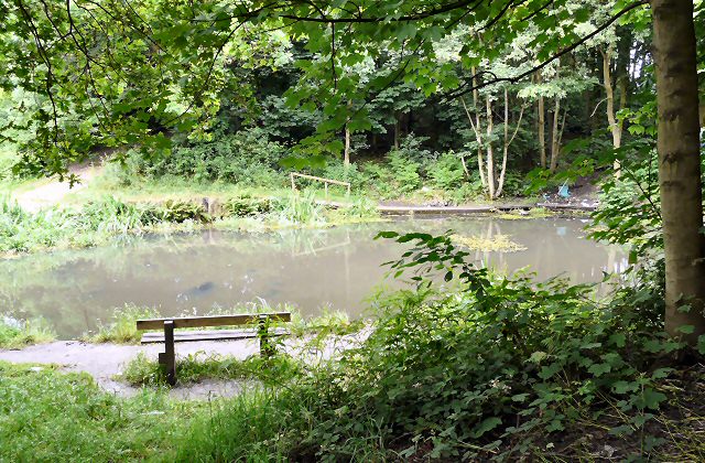
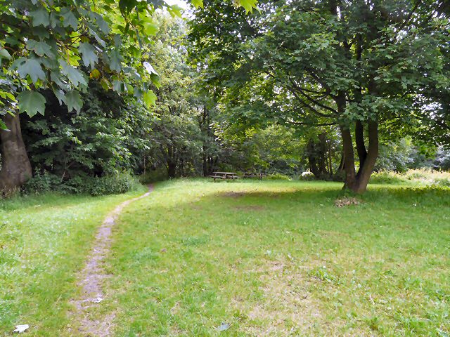
![]() This 400 acre park lies just a couple of miles north of Stockport in the Tame Valley. The park contains a Visitor Centre, Community Orchard and Garden, Butterfly Conservation Field and a Dipping Pond. There are also peaceful woodland walks, a waterside path along the River Tame and two reservoirs which attract plenty of wildlife. For children there's a farm where you can pet and feed a variety of animals.
This 400 acre park lies just a couple of miles north of Stockport in the Tame Valley. The park contains a Visitor Centre, Community Orchard and Garden, Butterfly Conservation Field and a Dipping Pond. There are also peaceful woodland walks, a waterside path along the River Tame and two reservoirs which attract plenty of wildlife. For children there's a farm where you can pet and feed a variety of animals.
Both the Trans Pennine Trail and the Midshires Way run through the park.
You can follow both these trails on towards Stockport either on a bike or on foot. The park is conveniently located a short distance from Reddish South and Brinnington railway stations.
Just to the west you'll find Highfield Country Park in Levenshulme. There's more nice walking trails and a cycle track here.
Postcode
SK5 7HE - Please note: Postcode may be approximate for some rural locationsPlease click here for more information
Reddish Vale Country Park Ordnance Survey Map  - view and print off detailed OS map
Reddish Vale Country Park Open Street Map  - view and print off detailed map
Reddish Vale Country Park OS Map  - Mobile GPS OS Map with Location tracking
Reddish Vale Country Park Open Street Map  - Mobile GPS Map with Location tracking
Pubs/Cafes
There's a decent on site cafe where you can enjoy refreshments after your exercise.
Dog Walking
The park's woodland and river trails are ideal for dog walking so you'll probably see other owners on your visit.
Further Information and Other Local Ideas
The Stockport Walk visits the botanic gardens at Fletcher Moss Park in East Didsbury. It starts in the town centre of Stockport and follows the River Mersey for just over 4 miles. Just to the south you can also explore Vernon and Woodbank Park where you can pick up the Etherow Goyt Valley Way and enjoy waterside walks along the River Goyt.
Head north along the Tameside Trail and you will soon come to Debdale Park. There's some nice trails around the Gorton Reservoir and lots of water based activities to try here. Heading east along the trail will take you to Haughton Green where you can visit the Haughton Dale Nature Reserve. There's some nice bluebell woods and lots of wildlife to see here.
For more walking ideas in the area see the Greater Manchester Walks page.
Cycle Routes and Walking Routes Nearby
Photos
Reddish Vale Country Park. The Trans Pennine Trail long distance path passes through this grid square, which is almost entirely the Reddish Vale Country Park. The park was formerly an industrial site with a calico print works amongst other factories and the lakes in the park provided the water to the mills.


