Tameside Trail
![]()
![]() This 30 mile circular walk explores the River Tame Valley around Greater Manchester.
This 30 mile circular walk explores the River Tame Valley around Greater Manchester.
The route visits a number of local highlights including several reservoirs, country parks and fine viewpoints.
The route begins at the train station in Broadbottom. You can pick up the trail just to the south of the station and follow it west to Idle Hill and the splendid viewpoint at Werneth Low Country Park.
The next stage continues west to Haughton Green where you can enjoy the bluebell woodland and wildlife in Haughton Dale Nature Reserve. Around here you cross the Peak Forest Canal before a waterside walk along the River Tame takes you to Reddish Vale Country Park.
You continue north to Debdale Park where you can enjoy pleasant waterside trails around Gorton Reservoir and the nearby Audenshaw Reservoir.
The route then heads through Droylsden to Clayton Vale and the Medlock Valley where there are views of the River Medlock and some popular cycling trails. Follow the river north east and it will take you to Daisy Nook Country Park where you can enjoy a canal, woodlands and wildflower meadows. There's also a nice riverside cafe where you can enjoy a pit stop.
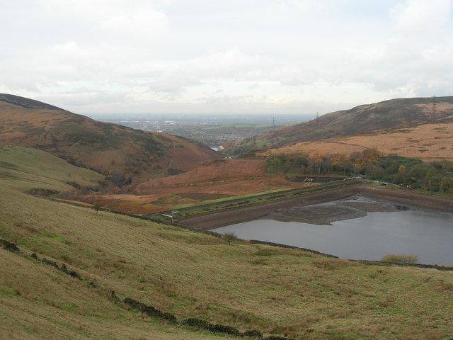
The path continues east to Hartshead Pike and Mossley where you cross the moors to visit the remote and picturesque Swineshaw Reservoir and Arnfield Reservoir.
The final section runs south past Hollingworth and Hadfield with a run along the Etherow Goyt Valley Way taking you back towards Broadbottom.
Tameside Trail Ordnance Survey Map  - view and print off detailed OS map
Tameside Trail Open Street Map  - view and print off detailed map
Tameside Trail OS Map  - Mobile GPS OS Map with Location tracking
Tameside Trail Open Street Map  - Mobile GPS Map with Location tracking
Pubs/Cafes
Several of the country parks on the route have on site cafes where you can enjoy a rest and some refreshment. Daisy Nook Country Park and Reddish Vale are good examples.
Near the start/finish there's the Hare & Hounds Inn next to Werneth Low Park. The friendly pub has a good menu and decent selection of ales.
There's also am excellent large garden area where you can enjoy fine views over Manchester with your meal. The pub is located very close to the Quarry Car Park on Werneth Low Rd with a postcode of SK14 3AA for your sat navs.
Cycle Routes and Walking Routes Nearby
Photos
Looking in a northeasterly direction along King's Road, part of the Tameside trail as it passes between the Gorton and Audenshaw Reservoirs near Droylsden and the M60 Motorway.
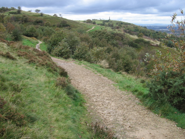
Near Park Bridge. Here we have climbed out of Rocher Vale at the Park Bridge Heritage Centre onto the waymarked Tameside Trail. The trail heads up to Hartshead Pike monument on the skyline.
Reddish Vale Country Park. The Tameside Trail and the Trans Pennine Trail long distance paths pass through this grid square, which is almost entirely the Reddish Vale Country Park. The park was formerly an industrial site with a calico print works amongst other factories and the lakes in the park provided the water to the mills.


