River Otter and the Otter Estuary
![]()
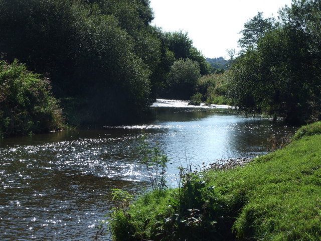
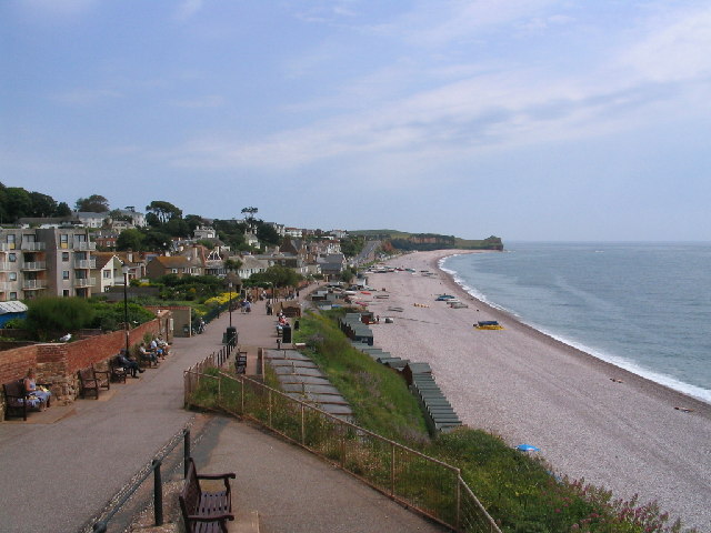
![]() Enjoy a lovely walk through the River Otter Valley on this waterside route near Budleigh Salterton. The walk starts from the village of Otterton and takes you along the River Otter to the Otter Estuary at Budleigh Salterton. The estuary is very pretty consisting of a variety of habitats including salt marsh, reed beds, low-lying meadows and pastureland. The Otter Estuary Nature reserve is a great place for bird watching. Look out for birds including cormorant, redshank, common sandpiper and curlew. You can enjoy a stroll along Budleigh Salterton beach before returning to Otterton along the river.
Enjoy a lovely walk through the River Otter Valley on this waterside route near Budleigh Salterton. The walk starts from the village of Otterton and takes you along the River Otter to the Otter Estuary at Budleigh Salterton. The estuary is very pretty consisting of a variety of habitats including salt marsh, reed beds, low-lying meadows and pastureland. The Otter Estuary Nature reserve is a great place for bird watching. Look out for birds including cormorant, redshank, common sandpiper and curlew. You can enjoy a stroll along Budleigh Salterton beach before returning to Otterton along the river.
At the coast you can pick up the South West Coast Path to extend your walk. Heading west will bring you to Exmouth, while Sidmouth and the beautiful Ladram Bay can be found in the other direction. At the secluded bay you will find a pair of striking sandstone sea stacks in a lovely spot with a small beach.
Also nearby is the lovely Woodbury Common. Here you will find miles of walking trails through heathland and heather with an ancient hill fort to visit too.
River Otter and the Otter Estuary Ordnance Survey Map  - view and print off detailed OS map
River Otter and the Otter Estuary Open Street Map  - view and print off detailed map
River Otter and the Otter Estuary OS Map  - Mobile GPS OS Map with Location tracking
River Otter and the Otter Estuary Open Street Map  - Mobile GPS Map with Location tracking
Explore the Area with Google Street View 
Pubs/Cafes
In Otterton head to the Kings Arms for some refreshments. The pub is in a delightful location next to the little mill stream that runs through the village. There's a good menu and drinks selection with a nice outdoor seating area for warmer days. It's also dog friendly. You can find the pub on Fore St, with a postcode of EX9 7HB for your sat navs.
Further Information and Other Local Ideas
Head north from the estuary and you can link up with the Ottery St Mary Walk. This route visits the pretty riverside town which is notable for the 14th century St. Mary Church which includes a wonderful astronomical clock. The walk takes you along both sides of the river, visiting the nearby village of Tipton St John on the way.
For more walking ideas in the area see the Devon Walks page.
Cycle Routes and Walking Routes Nearby
Photos
Otter estuary 1. These pine trees on the east side of the Otter estuary feature in many paintings and pictures of the Budleigh Salterton area. The shingle bank blocking the estuary is an extension of the Budleigh pebble beds, a distinct geological layer lying on top of the Triassic old red sandstone seen on the cliffs behind.
In Otterton. A small tributary of the River Otter flows through the village, but it is at the moment dry.


