Rodley Nature Reserve Walks
1 mile (1.6 km)
![]()
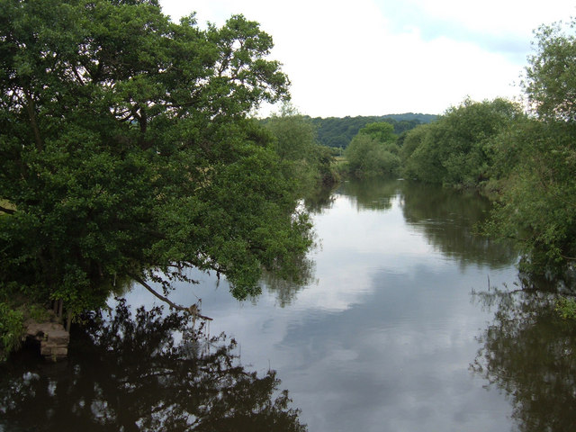
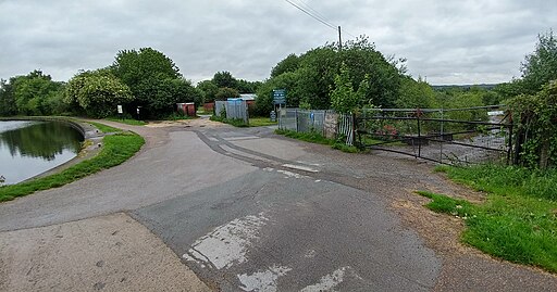
![]() This walk explores the Rodley Nature Reserve in Leeds. The wildlife rich reserve is located a few miles west of the city on the River Aire.
This walk explores the Rodley Nature Reserve in Leeds. The wildlife rich reserve is located a few miles west of the city on the River Aire.
The wetland area is a great place for bird spotting with several species of migrating waders and wildfowl to look out for from the on site hides.
There's nice river paths and the option of continuing your waterside walking along the Leeds and Liverpool Canal. You can follow the Leeds Canal Walk to the reserve from the city and then continue east to visit the historic Kirkstall Abbey. The peaceful woodland trails at Calverley Woods are located just to the west.
Postcode
LS13 1HP - Please note: Postcode may be approximate for some rural locationsPlease click here for more information
Rodley Nature Reserve Ordnance Survey Map  - view and print off detailed OS map
Rodley Nature Reserve Open Street Map  - view and print off detailed map
Rodley Nature Reserve OS Map  - Mobile GPS OS Map with Location tracking
Rodley Nature Reserve Open Street Map  - Mobile GPS Map with Location tracking
Pubs/Cafes
There is a decent on site visitor centre with a cafe selling a range of refreshments.


