Rogie Falls Walk
![]()
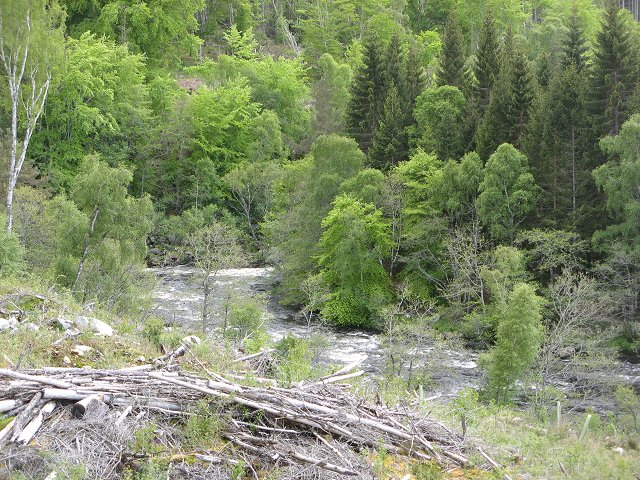
![]() This short walk visits a series of lovely waterfalls in the Highlands. Rogie Falls are surrounded by attractive woodland with miles of forest trails. There's a car park very close to the falls where you can pick up the trails along the Black Water River to a viewing bridge suspended above the falls. It's a fantastic spot with the rushing waters surrounded by interesting rock formations with sloping trees. Look out for jumping salmon between June and October as they attempt to reach the upper parts of the river to spawn.
This short walk visits a series of lovely waterfalls in the Highlands. Rogie Falls are surrounded by attractive woodland with miles of forest trails. There's a car park very close to the falls where you can pick up the trails along the Black Water River to a viewing bridge suspended above the falls. It's a fantastic spot with the rushing waters surrounded by interesting rock formations with sloping trees. Look out for jumping salmon between June and October as they attempt to reach the upper parts of the river to spawn.
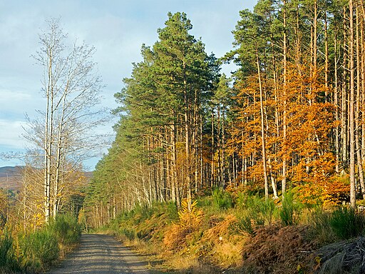
To extend your exercise you can explore the Contin Forest where there are miles of cycling and walking trails to try. The woods are great for wildlife with roe and red deer, red squirrels, butterflies and various woodland birds to look out for.
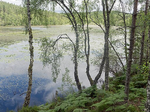
Just to the south of the falls is the delightful Loch Achilty. The pretty loch has a pebble beach and is surrounded by birch and oakwoods with lots of wildflowers in the summer.
Postcode
IV14 9EJ - Please note: Postcode may be approximate for some rural locationsPlease click here for more information
Rogie Falls Ordnance Survey Map  - view and print off detailed OS map
Rogie Falls Open Street Map  - view and print off detailed map
Rogie Falls OS Map  - Mobile GPS OS Map with Location tracking
Rogie Falls Open Street Map  - Mobile GPS Map with Location tracking
Pubs/Cafes
Just to the north west there's the Tarvie Services where there's a nice coffee shop for refreshments. They sell a good range of meals and snacks and have some picnic tables as well. You can find them just up the road at postcode IV14 9EJ.
Dog Walking
The falls are popular with dog walkers and there's plenty of woodland trails in the surrounding Contin Forest too.
Further Information and Other Local Ideas
To the north east there's splendid peaceful trails along the remote Loch Glass and Loch Morie to try.
Just to the east there's woodland trails leading to Loch na Crann.
Further east there's the town of Dingwall where you can enjoy a walk along the old Dingwall Canal. It's a nice easy waterside walk with splendid views over the Cromarty Firth at the coastal end.
Also nearby is the village of Strathpeffer where you can enjoy a circular walk to the ancient rocks at the Touchstone Maze, the splendid Cat's Back Ridge and the picturesque Loch Ussie.
For more walking ideas in the area see the Scottish Highlands Walks page.


