Romney Marsh Walks
![]()
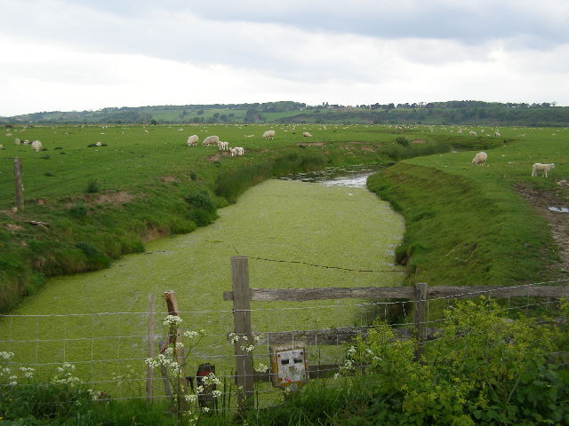
![]() This expansive area of wetland in Kent is ideal for walking with miles of flat footpaths, quiet villages and beautiful scenery to enjoy. The wetland, rivers and streams on the marsh also attract a huge variety of wildlife, so keep your eyes peeled for Herons, Great Crested Grebes and the Bar Talied Godwit as you make your way through the area.
This expansive area of wetland in Kent is ideal for walking with miles of flat footpaths, quiet villages and beautiful scenery to enjoy. The wetland, rivers and streams on the marsh also attract a huge variety of wildlife, so keep your eyes peeled for Herons, Great Crested Grebes and the Bar Talied Godwit as you make your way through the area.
This circular walk starts and ends in the town of New Romney on the edge of Romney Marsh. It visits the villages of St Mary in the Marsh, Ivychurch and Old Romney before returning to the town. Highlights on the route include the 12th century church in St Mary in the Marsh where Edith Nesbit, author of The Railway Children, is buried. At Ivychurch there is also a wonderful old church known as the 'Cathedral of Romney Marsh'. The main body of the church dates from 1360 and includes an impressive nave.
To visit the marsh by bike you can follow National Cycle Network Route 2 from nearby Lydd or Hythe.
There's lots of good options for extending your walking in the area. You could head to the splendid Dungeness Nature Reserve near Lydd. It's a fantastic area with coastal paths, lakes, lagoons and a huge variety of wildlife to look out for.
Also nearby is the lovely waterside walk along the Royal Military Canal Path and the beautiful nature reserve at Rye Harbour.
Please click here for more information
Romney Marsh Ordnance Survey Map  - view and print off detailed OS map
Romney Marsh Open Street Map  - view and print off detailed map
Romney Marsh OS Map  - Mobile GPS OS Map with Location tracking
Romney Marsh Open Street Map  - Mobile GPS Map with Location tracking
Further Information and Other Local Ideas
Just to the east you can pick up the Dymchurch Walk and visit the coastal village with its old Martello Towers and Redoubt Fort.
For more walking ideas in the area see the Kent Walks page.
Cycle Routes and Walking Routes Nearby
Photos
Fairfield Church, Romney Marsh. The church of St Thomas a Becket sits in splendid isolation in the middle of a marshland field. A causeway was built to reach it in 1913 - before then parishioners often had to row out across the flooded fields to reach it.
The Royal Military Canal in the marsh. The Royal Military Canal ran between Hythe and Rye and was completed in 1809. It was built as a defensive line to guard against a threatened invasion by Napoleon. Every five hundred yards there is a kink in the canal, allowing guns mounted on the northern bank to fire along the length of the canal at anyone trying to cross.


