Rotherfield Peppard Common Walks
![]()
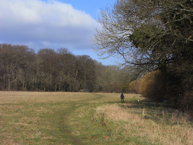
![]() This area of common land is located near the village of Rotherfield Peppard in the Chilterns area of Oxfordshire.
This area of common land is located near the village of Rotherfield Peppard in the Chilterns area of Oxfordshire.
It's a nice place for a stroll with heather, gorse, woodland, meadow and views of the cricket pitch. The common is also good for wildlife spotting with a variety of species of bird to look out for.
Adjacent to the village is Sonning Common where you can extend your walk if you have time. Here you can pick up the long distance Chiltern Way and follow it to Crowsley Park where you can see a fine old mansion and the BBC's satellite dishes.
Rotherfield Peppard Common Ordnance Survey Map  - view and print off detailed OS map
Rotherfield Peppard Common Open Street Map  - view and print off detailed map
*New* - Walks and Cycle Routes Near Me Map - Waymarked Routes and Mountain Bike Trails>>
Rotherfield Peppard Common OS Map  - Mobile GPS OS Map with Location tracking
Rotherfield Peppard Common Open Street Map  - Mobile GPS Map with Location tracking
Walks near Rotherfield Peppard Common
- Sonning Common - This walk takes you around the countryside, parkland and woodland surrounding the village of Sonning Common in Oxfordshire
- Reading to Henley - Enjoy an easy riverside walk along the Thames Path on this walk from Reading to Henley-on-Thames via Sonning
- Binfield Heath and Crowsley Park - This circular walk from Binfield Heath visits Crowsley Park, owned by the BBC in South Oxfordshire
- Sonning - This Berkshire based village is in one of the most picturesque spots on the River Thames
- Rotherfield Greys Court Circular Walk - This walk explores the area around the National Trust's Greys Court in Henley-on-Thames, Oxfordshire.
- Henley-on-Thames - The popular market town of Henley-on-Thames has a number of excellent waymarked trails to try
- Henley via Stonor Circular Walk - A circular walk from Henley visiting Stonor, Middle Assendon and the National Trust's Greys Court
- Nettlebed Woods and Middle Assendon Circular Walk - This Oxfordshire village is surrounded by several large areas of woodland and some lovely Chilterns countryside
- Warburg Nature Reserve - This delightful nature reserve near Henley-on-Thames has some lovely woodland trails to try
- Oxfordshire Way - Take a trip through Oxfordshire and enjoy rivers, canals, pretty villages and beautiful countryside on this lovely trail
- Turville - This circular walk explores the countryside surrounding the Chilterns village of Turville
- Thames Path - Starting at the Source of the Thames at Thames Head in Gloucestershire, follow the iconic river through beautiful countryside and historic towns to the city of London.
- Fingest - This pretty little Buckinghamshire village is located in the Chilterns near Henley on Thames
- Ibstone - This Buckinghamshire based village is located in a pleasant rural spot in the Chiltern Hills, on the border with Oxfordshire
- Stoke Row - This walk takes you around the pretty Oxfordshire village of Stoke Row
- Woodcote - This South Oxfordshire based village is a nice place to start a woodland and countryside walk
Further Information and Other Local Ideas
Just to the north west is the worthy village of Stoke Row where there are some interesting historical features. The village includes the distinctive Maharajah's Well, a pretty cherry orchard and a noteworthy 17th century pub reputed to be the former haunt of notorious highwayman Dick Turpin. Near here there's also Ipsden where you can explore the trails on Ipsden Heath and visit the 12th century Norman church.


