Ibstone Walks
![]()
![]() This Buckinghamshire based village is located in a pleasant rural spot in the Chiltern Hills, on the border with Oxfordshire. The neighbouring village of Stokenchurch lies just a few miles to the north.
This Buckinghamshire based village is located in a pleasant rural spot in the Chiltern Hills, on the border with Oxfordshire. The neighbouring village of Stokenchurch lies just a few miles to the north.
This walk from the village takes you north to visit the Aston Rowant Nature Reserve and climb to the viewpoint at Beacon Hill in the Chilterns. On the way you will pass along the old Wormsley Estate and visit Ibstone Common. There's lots of peaceful woodland trails, countryside paths, wildlife and some excellent views from the high points.
The Wormsley Estate is private but is open on certain days for special events. It is well known for its cricket ground and a good place to look out for red kites. Public footpaths skirts the eastern edge of the estate.
To continue your walking around the village head south to nearby Turville where you can pay a visit to the famous Chitty Chitty Bang Bang Windmill.
Ibstone Ordnance Survey Map  - view and print off detailed OS map
Ibstone Open Street Map  - view and print off detailed map
Ibstone OS Map  - Mobile GPS OS Map with Location tracking
Ibstone Open Street Map  - Mobile GPS Map with Location tracking
Walks near Ibstone
- Stokenchurch - This Buckinghamshire based village has some lovely trails to follow through the surrounding Chilterns countryside
- Turville - This circular walk explores the countryside surrounding the Chilterns village of Turville
- Aston Rowant Nature Reserve - Enjoy a circular walk around this wonderful nature reserve in the Chilterns and climb Beacon Hill on the way
- Fingest - This pretty little Buckinghamshire village is located in the Chilterns near Henley on Thames
- Chitty Chitty Bang Bang Windmill - This short circular walk visits Cobstone Windmill in Turville, Buckinghamshire
- Greys Court - This walk explores the area around the National Trust's Greys Court in Henley-on-Thames, Oxfordshire.
- Henley via Stonor Circular Walk - A circular walk from Henley visiting Stonor, Middle Assendon and the National Trust's Greys Court
- Henley-on-Thames - The popular market town of Henley-on-Thames has a number of excellent waymarked trails to try
- Chinnor - This village in South Oxfordshire is in a fine location for walkers with hill climbs and large areas of woodland right next to the settlement
- Thame - The market town of Thame is well served by a number of public footpaths branching out into the surrounding countryside
- Princes Risborough - This Buckinghamshire based town is in a great location for exploring the beautiful Chiltern Hills AONB.
This walk from the town's train station takes you to some of the highlights of the area - Bledlow Ridge - This Buckinghamshire based village has some fine country walks into the surrounding Chiltern Hills
- West Wycombe Park - Explore the beautiful estate surrounding West Wycombe House on this walk in the Chilterns AONB
- Bradenham Woods - This circular walk explores the woodland and countryside surrounding the pretty village of Bradenham in the Chilterns
- Downley Common - This walk visits Downley Common next to the Buckinghamshire village of Downley in the Chilterns near High Wycombe.
- Long Crendon - This attractive Buckinghamshire village has a number of photogenic ancient buildings, quaint thatched cottages and some pleasant riverside trails for walkers
Photos
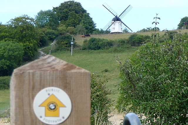
Towards Cobstone Mill. A footpath climbs Turville Hill, from the village of the same name, towards Cobstone Mill. This stock mill is in private ownership, with no public access, and it is seen more clearly from afar anyway. It is famous as being one of the main locations in the film Chitty Chitty Bang Bang, as well as other films and TV series.
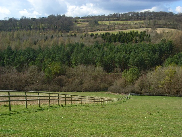
The Wormsley Estate. Wormsley is a private estate of Mark Getty and his family, set in 2,700-acre (1,100 ha). Acquired by Sir Paul Getty in 1985, the estate forms part of Hambleden valley, running from Stokenchurch to Turville. Wormsley is known for its library, its cricket ground, its two-acre walled garden, its shoot, and the vistas and landscapes of the estate grounds. It also rents space for events and television and filming work.
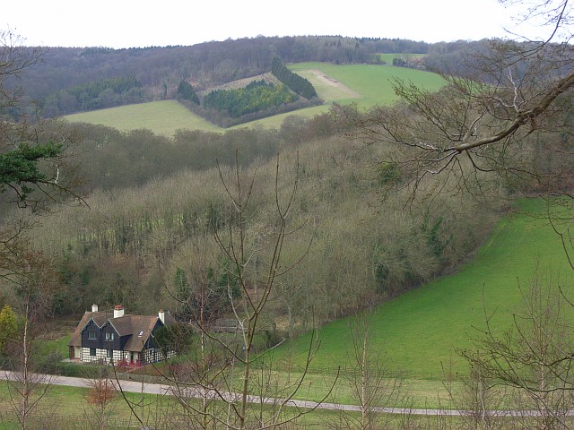
Cottages, pasture and woodland below Stokenchurch. The cottages are one of two pairs of semis on the estate road north of Wellground Farm. They are viewed from the bridleway that climbs through woodland to the east. The scenery is typical Chiltern mix of woodland and pasture, valleys and ridges.


