GPS Cycle and Walking Routescycle iconwalk icon

Roughrigg Reservoir

3.4 miles (5.5 km)

Ordnance Survey Map Open Streetmap This circular walk takes you around Roughrigg Reservoir near Airdrie.
The reservoir is a popular place for fishing and also has some pleasant walking trails along the old railway track beds that surround the site. There's some pleasant grassy paths with nice views to the surrounding hills and countryside.
To continue your walking in the area you could head north to pick up the Airdrie to Bathgate Cycle Path and visit the nearby Hillend Reservoir where there's more nice waterside trails.

Postcode

ML6 8QL - Please note: Postcode may be approximate for some rural locations

Roughrigg Reservoir OS Map Ordnance survey map - Mobile GPS OS Map with Location tracking

Roughrigg Reservoir Open Street Map Open Streetmap - Mobile GPS Map with Location tracking

Photos

Roughrigg Reservoir - geograph.org.uk - 202264

Roughrigg Reservoir. Formerly the water supply source for Airdrie and Coatbridge.

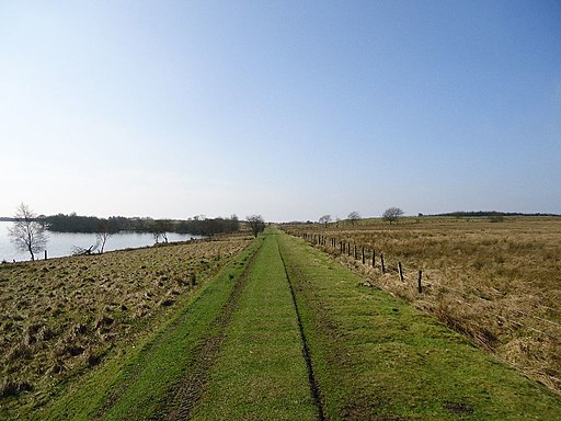
Roughrigg Reservoir (5) - geograph.org.uk - 2862909

Grassy path by the reservoir on the old railway

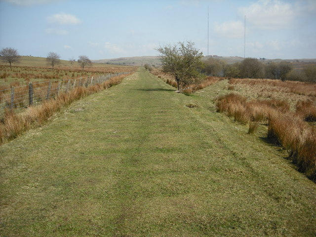
Old railway trackbed - geograph.org.uk - 1254823

Old railway trackbed. On the north side of Roughrigg reservoir. Blackhill transmitters on horizon.

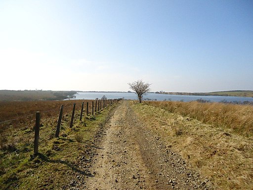
Roughrigg Reservoir (10) - geograph.org.uk - 2863568

South eastern side of the water.

Disused railway line - geograph.org.uk - 198797

Route of the old rail line on the eastern side, presumably for access to the quarries NE of here.

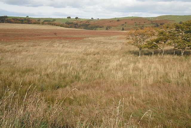
Marshland upstream of Roughrigg Reservoir - geograph.org.uk - 1516008

Marshland upstream of Roughrigg Reservoir. Wetland beside the Browns Burn.

Video

GPS Files

GPX File

Roughrigg Reservoir.gpx (On Desktop:Right Click>Save As. On Ipad/Iphone:Click and hold>Download Linked File)