Runswick Bay to Kettleness Circular Walk
![]()
![]() A circular walk from Runswick Bay to Kettleness on the North Yorkshire coast.
A circular walk from Runswick Bay to Kettleness on the North Yorkshire coast.
The route uses a section of the Cleveland Way to take you along the coast path to Kettleness before returning via the dismantled railway line running between the two settlements.
On the way there's some excellent views over the bay with woodland and countryside scenery on the return leg.
It's about a 5 mile walk on elevated cliff top paths before a fairly flat railway path section.
Runswick Bay to Kettleness Circular Walk Ordnance Survey Map  - view and print off detailed OS map
Runswick Bay to Kettleness Circular Walk Open Street Map  - view and print off detailed map
Runswick Bay to Kettleness Circular Walk OS Map  - Mobile GPS OS Map with Location tracking
Runswick Bay to Kettleness Circular Walk Open Street Map  - Mobile GPS Map with Location tracking
Cycle Routes and Walking Routes Nearby
Photos
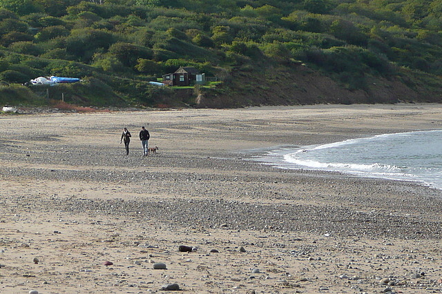
Runswick Bay. The picturesque fishing village is one of the highlights of the Yorkshire coast with its sandy beach, sheltered bay and pretty little cottages. The white thatched property on the seafront is notable as the only remaining thatched house on the Yorkshire coast.
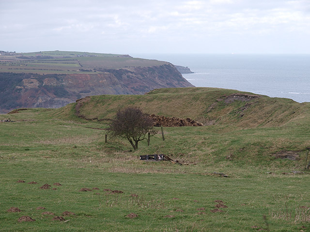
Kettleness. The small settlement only consists of half-a-dozen houses, but up until the early 19th century, it was a much larger village. However, most of that village, which was on the headland, slipped into the sea as a result of instability caused by quarrying for the alum industry. Kettleness became a smaller hamlet, with houses rebuilt slightly further inland.
Site of Kettleness ironstone mine. Historically, the hamlet has had an alum works, a jet mining industry and ironstone workings. The hamlet used to have a railway station on the Whitby, Redcar and Middlesbrough Union Railway, that was open between 1883 and 1958.


