Sarratt Walks
![]()
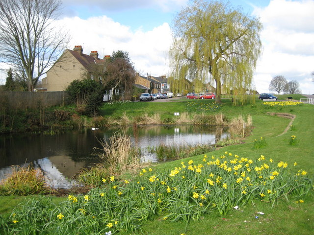
![]() This picture postcard village sits in a delightful spot in the Chess Valley in Hertfordshire. It's a popular place for a walk with a pretty village green, quaint old cottages, a pond and waterside trails along the scenic river at the bottom of the settlement.
This picture postcard village sits in a delightful spot in the Chess Valley in Hertfordshire. It's a popular place for a walk with a pretty village green, quaint old cottages, a pond and waterside trails along the scenic river at the bottom of the settlement.
This circular walk from the village visits the River Chess and Chenies Manor. The walk starts in the village and heads south west along country lanes to Sarratt Bottom by the river. Here you can pick up the Chess Valley Walk and follow the waymarked trail west towards Chenies. There's another pretty village here and a historic Tudor House. The photogenic building is Grade I listed and surrounded by award-winning gardens. Original 13th Century features including a Medieval well, a dungeon and a reputed priest hole. You can tour the house and garden for a fee, from April to October.
The route then heads east past Mount Wood to Nicholas Spring and Sarrat Mill House on the river. Here you cross over the water to Church End before following a country lane back into the village.
Postcode
WD3 6AS - Please note: Postcode may be approximate for some rural locationsSarratt Ordnance Survey Map  - view and print off detailed OS map
Sarratt Open Street Map  - view and print off detailed map
*New* - Walks and Cycle Routes Near Me Map - Waymarked Routes and Mountain Bike Trails>>
Sarratt OS Map  - Mobile GPS OS Map with Location tracking
Sarratt Open Street Map  - Mobile GPS Map with Location tracking
Pubs/Cafes
The Cricketers is in a lovely spot on the village green. They do a fine Sunday lunch and have a nice garden area to sit out in on warmer days. You can find them at postcode WD3 6AS for your sat navs.
Dog Walking
The river and country trails make for a fine walk with your dog. The Cricketers mentioned above is also dog friendly.
Further Information and Other Local Ideas
A few miles south of the village you can explore Rickmansworth and enjoy an easy stroll along the Grand Union Canal Walk.
The Chorleywood Walk also passes through the area. This explores the 200 acre Chorleywood Common and the 200 year old Chorleywood House.
To the south east you can pick up the Croxley Green Boundary Walk. This waymarked circular walk explores the area around the worthy village, visiting the canal and the River Gade on the way.
Just to the west you could visit the worthy village of Little Chalfont where you could pay a visit to the Little Chalfont Nature Park. The lovely little park includes a rare wild flower meadow, old woodlands and relics of its past as a farm and a cherry orchard. There's information boards where you can learn about the variety of flora and fauna at the site. You can find them on Cokes Lane at postcode HP7 9QB for sat navs.
For more walking ideas in the area see the Chilterns Walks and the Hertfordshire Walks pages.
Cycle Routes and Walking Routes Nearby
Photos
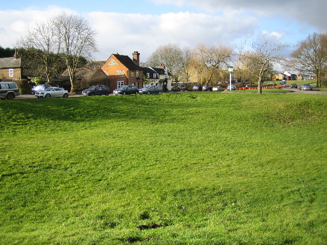
The Green. Viewed looking westwards towards the former Cricketers Public House which is now a Blubeckers Eating House
Sarratt Bottom. The houses at the bottom end of Moor Lane viewed looking eastwards from Holloway Lane and the valley of the River Chess. Holloway Lane is on the Chess Valley Walk.
River Chess, near Sarratt Bottom. Viewed looking upstream and northwards, the river here appears to be in an artificial cut, as it does not flow in the lowest part of the valley, which is to the left of the photo.
Village scene. This picture confirms that the village has houses and a shop as well as the green. The Post Office Store & Off Licence can be seen in the film "Murder Most Foul" (1964). The church was also used in the filming of Four Weddings and a Funeral. In some of the early novels of John le Carré, Sarratt is the fictional location of an agent training school and interrogation centre for the British foreign intelligence service called the nursery.
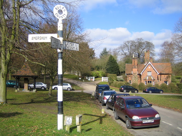
Chenies. Viewed looking westwards across the village green. The village pump is visible to the left of the old style road sign, and the house in the distance has a plaque indicating that it was built in 1857.


