Savernake Forest Cycling and Walks
![]()
![]() This large area of woodland is located near Marlborough in the North Wessex Downs AONB.
This large area of woodland is located near Marlborough in the North Wessex Downs AONB.
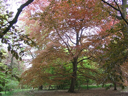
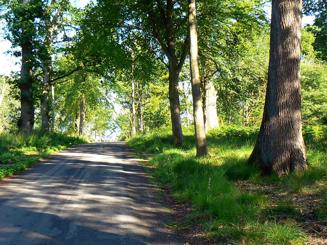
In the woods you'll find miles of walking and cycling trails, with thousands of acres of ancient woodland to explore. As well as the peaceful trails there's a number of ponds, hill climbs, an arboretum, lots of bluebells in the spring and a variety of woodland birds to look out for. There's also some open farmland with grazing cattle and hundreds of beeches and oaks, with tree lined avenues, and coniferous plantations.
You can start off from the parking area in the north western corner of the forest, next to the campsite. Then pick up the trails heading south east into forest.
For cyclists there's a nice trail running along the Grand Avenue through the centre of the forest. It's part of National Cycle Network Route 4 and you could continue your ride on our Marlborough to Reading Cycle Route.
To extend your exercise you could head south east from the forest and visit Bedwyn Common and Great Bedwyn village. Here there are some nice waterside paths along the River Dun to enjoy.
Just to the west of the forest you can pick up the long distance Wansdyke Path and visit the nearby West Woods where you'll find more good mountain bike trails and footpaths.
In nearby Marlborough you can enjoy a lovely walk along the River Kennet or pick up long distance trails including the Chiseldon and Marlborough Railway Path and the Wessex Ridgeway.
Postcode
SN8 4ND - Please note: Postcode may be approximate for some rural locationsSavernake Forest Ordnance Survey Map  - view and print off detailed OS map
Savernake Forest Open Street Map  - view and print off detailed map
Savernake Forest OS Map  - Mobile GPS OS Map with Location tracking
Savernake Forest Open Street Map  - Mobile GPS Map with Location tracking
Pubs/Cafes
Head into Marlborough and there's lots of good options for post exercise refreshments. The Roebuck is a very good choice with great food and a nice beer garden for warmer days. You can find it on London Road at postcode SN8 2AJ.
Dog Walking
There's miles of great wide trails which are ideal for a dog walk. On a fine day you're bound to run into other dogs.
Cycle Routes and Walking Routes Nearby
Photos
Concrete ramp, Savernake Forest, near Cadley. This structure is situated immediately north of Great Lodge Drive. It appears to be designed as an above-ground vehicle inspection pit. Trucks could be driven up ramps at the rear onto the horizontal section so that their underpinnings could be worked on. It is probably a relic from the war years when the whole forest was used as for ammunition and ordnance storage and distribution
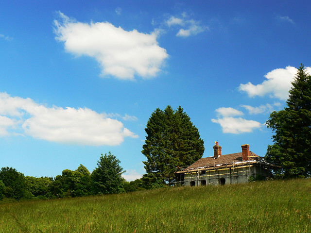
Braydon Hook House. The property occupies a commanding position on top of a small hill. It sits on the line of an old Roman road. The house is undergoing a major overhaul although there was no activity evident on this day.


