Sennen to Lands End Circular Walk
![]()
![]() A beautiful section of coast with some unique birdwatching opportunites. It's about a 3 mile circular walk with some moderate climbing along the cliffs. On the way look out for a variety of pretty wildflowers and seabirds including fulmars, kittiwakes and guillemots.
A beautiful section of coast with some unique birdwatching opportunites. It's about a 3 mile circular walk with some moderate climbing along the cliffs. On the way look out for a variety of pretty wildflowers and seabirds including fulmars, kittiwakes and guillemots.
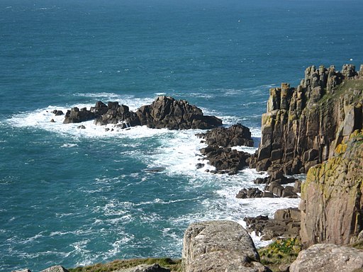
Start the walk from the Sennen Harbour car park next to the lifeboat station. From here you can pick up the coast path heading south west to Maen Cliff and Maen Castle. The Iron Age fort includes a stone rampart, ditch and counterscarp bank built across the neck of the headland, with almost sheer cliffs on two sides and a steep slope on the third.
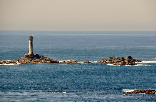
You continue south to Dr Syntax's Head and then to the most westerly point of England at Land's End. Here you turn inland, passing Trevescan Cliff to pick up a section of the Cornish Way. This will take you back through the countryside to Sennen Cove with more great views from the elevated path.
The little village has a number of pretty cottages and a beautiful long beach which is popular with surfers. There's also a nice beach cafe and a typical Cornish pub for refreshments after your exercise.
You can extend your walking in the area by continuing south along the coast path on the Porthcurno to Lands End Walk.
Heading north will take you past the lovely Whitesand Bay to Cape Cornwall where you can visit the historic Botallack Mine and Levant Mine, explore the Kenidjack Valley and visit England's most westerly town at St Just.
You can also pick up the long distance Land's End Trail. The waymarked trail runs for over 300 miles from Avebury in Wiltshire, through Devon and Somerset to Land's End.
Sennen to Lands End Walk Ordnance Survey Map  - view and print off detailed OS map
Sennen to Lands End Walk Open Street Map  - view and print off detailed map
*New* - Walks and Cycle Routes Near Me Map - Waymarked Routes and Mountain Bike Trails>>
Sennen to Lands End Walk OS Map  - Mobile GPS OS Map with Location tracking
Sennen to Lands End Walk Open Street Map  - Mobile GPS Map with Location tracking
Further Information and Other Local Ideas
Continue south from Land's End and you will soon come to Nanjizal where you will find a stunning cove and beach. The hidden gem is more peaceful than Land's End and a great place for bird watching. See the Sennen Cove to Nanjizal Walk for more information.
Just to the north is the lovely Cot Valley at Porth Naven. The secluded valley is a fine place for a stroll with a picturesque stream and lots of wildlife to see.


