Shepherds Cairn Walk
![]()
![]() This circular walk takes you to the Shepherd's Cairn memorial near Alnham in the Northumberland National Park.
This circular walk takes you to the Shepherd's Cairn memorial near Alnham in the Northumberland National Park.
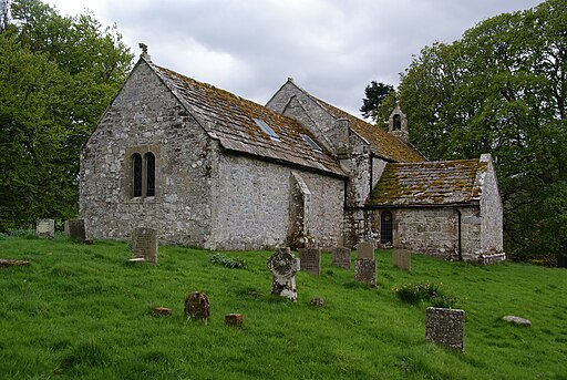
You can reach the site from the hamlet of Alnham where there is some roadside parking next to the Grade I listed 12th century church.
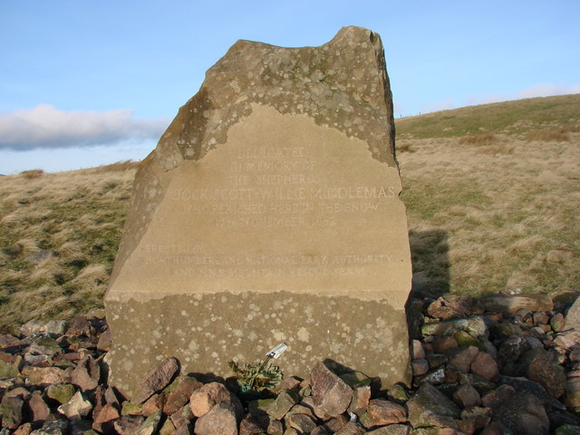
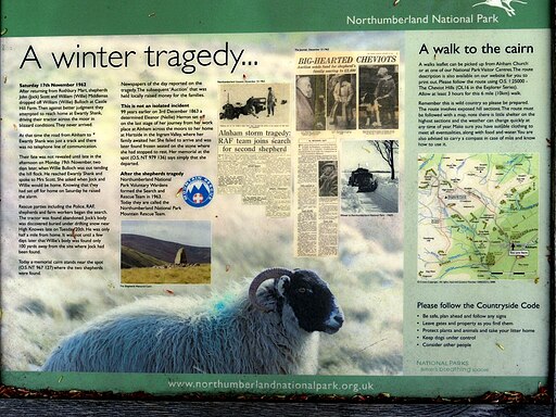
From the church you follow bridlepaths north west towards Northfieldhead Hill and High Knowles. Here you will find the Shepherds Cairn memorial to two shepherds who lost their lives in the exceptionally cold winter of 1962. As a result of this tragedy the National Park Voluntary Rangers set up the Northumberland National Park Mountain Rescue Team - a volunteer organisation that turns out in all weather to help save lives. There's also an information board at the church (pictured below) with more details of the tragedy and newspaper clippings from the 1960s.
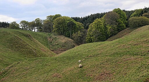
From the cairn the route then heads south to Pigdon's Leap and the Hazeltonrig Burn. You then follow footpaths east to Hazeltonrig Woods, passing a waterfall on the way. From here head north east and you will soon come to Alnham where the route finishes.
To continue your walking in the area head north to visit one of the area highlights at the Ingram Valley.
Shepherds Cairn Ordnance Survey Map  - view and print off detailed OS map
Shepherds Cairn Open Street Map  - view and print off detailed map
Shepherds Cairn OS Map  - Mobile GPS OS Map with Location tracking
Shepherds Cairn Open Street Map  - Mobile GPS Map with Location tracking
Cycle Routes and Walking Routes Nearby
Photos
Memorial to two shepherds who died in white-out 1962. A tragic reminder of how harsh the life is in these hills, when 2 shepherds lost their way from Rothbury in a white-out. They were less than a kilometre from the farmhouse at Ewartly Shank. The inscription reads 'DEDICATED TO THE MEMORY OF SHEPHERDS JOCK SCOTT~WILLIE MIDDLEMAS WHO PERISHED HERE IN THE SNOW 17th NOVEMBER 1962'


