Usway Burn - River Coquet - Upper Coquetdale Walk
![]()
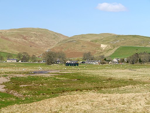
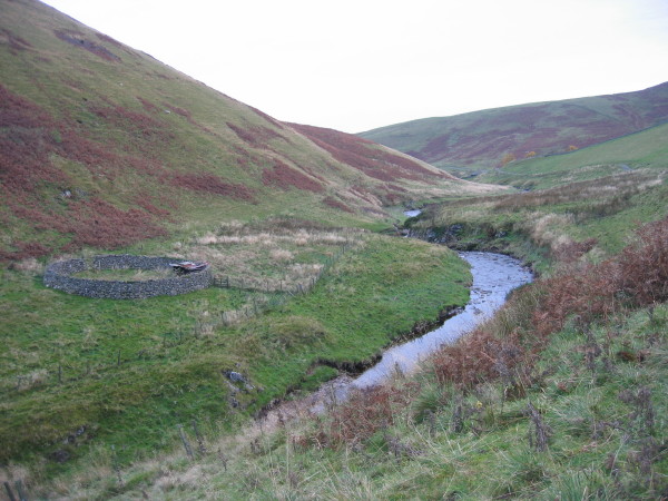
![]() Enjoy some lovely waterside walking along the Usway Burn and the River Coquet on this route in the Upper Coquetdale area of the Northumberland National Park. The walk begins next to the parking area at Alwinton and follows a footpath to the Usway Burn. You follow the path north along the burn with waterfalls, woodland paths and wonderful views of the Cheviots. Just after entering the edge of Kidland Forest you turn south and head towards Barrowburn.
Enjoy some lovely waterside walking along the Usway Burn and the River Coquet on this route in the Upper Coquetdale area of the Northumberland National Park. The walk begins next to the parking area at Alwinton and follows a footpath to the Usway Burn. You follow the path north along the burn with waterfalls, woodland paths and wonderful views of the Cheviots. Just after entering the edge of Kidland Forest you turn south and head towards Barrowburn.
Here you pick up a country lane which runs along the River Coquet through the beautiful Upper Coquetdale. This lane takes you to the finish point back at Alwinton.
Usway Burn - River Coquet - Upper Coquetdale Walk Ordnance Survey Map  - view and print off detailed OS map
Usway Burn - River Coquet - Upper Coquetdale Walk Open Street Map  - view and print off detailed map
*New* - Walks and Cycle Routes Near Me Map - Waymarked Routes and Mountain Bike Trails>>
Usway Burn - River Coquet - Upper Coquetdale Walk OS Map  - Mobile GPS OS Map with Location tracking
Usway Burn - River Coquet - Upper Coquetdale Walk Open Street Map  - Mobile GPS Map with Location tracking
Further Information and Other Local Ideas
The circular Alwinton Walk visits the River Alwin, River Coquet, the ruins of Harbottle Castle, West Wood and the excellent viewpoint at the Drake Stone. There's also a 12th century Norman church and a couple of classic old village pubs to visit in the area.
To the north east there's the circular Shepherds Cairn Walk which visits a memorial to two shepherds who lost their lives in the exceptionally cold winter of 1962. The walk starts from Alnham where there's a noteworthy Grade I listed 12th century church.
To the north of the route there's Davidson's Linn to visit. The picturesque and remote waterfall is situated on the Usway Burn and a lovely spot for a picnic and a paddle.


