Shibden Valley and Dale Circular Walk
![]()
![]() This circular walk explores Shibden Valley and Shibden Dale near Halifax in West Yorkshire. The valley is a lovely place for a walk with some hill climbs with fine views over the surrounding countryside.
This circular walk explores Shibden Valley and Shibden Dale near Halifax in West Yorkshire. The valley is a lovely place for a walk with some hill climbs with fine views over the surrounding countryside.
The walk starts from the car park at the popular Shibden Park on the north eastern side of the town. From here you can pick up trails heading north west towards Pepper Hill, Swales Moor and Lower Shibden Hall.
The route then heads east across Shibden Dale, passing the old quarry before linking up with the Calderdale Way near Addersgate Farm. Follow the waymarked footpath east towards Stone Chair before turning south to Northowram.
You then head south west to past Upper Brear to return to the park where you could enjoy some post walk refreshments at the on site cafe. The park is also well worth exploring with some fine walking trails taking you to woodland and a lovely lake.
Shibden Valley Ordnance Survey Map  - view and print off detailed OS map
Shibden Valley Open Street Map  - view and print off detailed map
Shibden Valley OS Map  - Mobile GPS OS Map with Location tracking
Shibden Valley Open Street Map  - Mobile GPS Map with Location tracking
Further Information and Other Local Ideas
Just north of the valley there's Horton Bank Country Park to explore. The park includes a nice lakeside trail and a viewpoint with fine views over the city of Bradford and the surrounding Yorkshire Dales countryside. The picturesque Chellow Dene Reservoir is also located near here.
Cycle Routes and Walking Routes Nearby
Photos
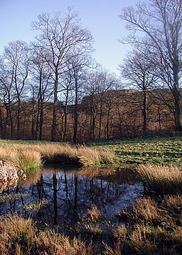
Simm Carr, Shibden Dale. Looking east across Shibden Brook towards Bleak Hill from the pasture to the southeast of Scout Hall.
Valley and Blake Hill End, from Fall Lane, Northowram. This valley has been scarred by quarrying, but has been made into a pasture. The edge of a spoil heap is on the left. The house and barn are just over the grid line, and are called Blake Hill End, though the hill behind has the old spelling, Bleak Hill. The barn has small semi-circular windows in the gable-end; these occur quite frequently around here. The lane has a high stone retaining wall on the left side.
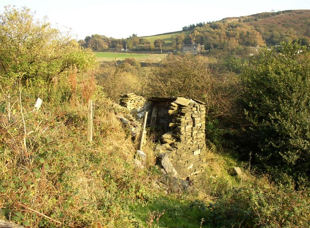
Remains of Woodcock, Shibden Dale, Northowram. Woodcock was a cottage that is shown on the 1850 map. There are other bits of wall amongst the bushes on the left.
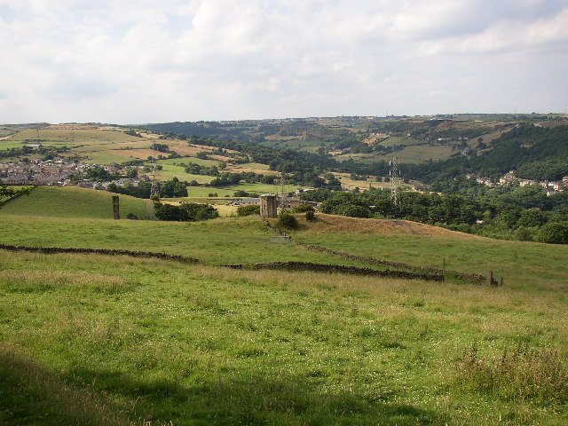
Shibden Valley from Magna Via. This is the view from the summit of the medieval road from Wakefield to Halifax (called the Magna Via and here now called Barrowclough Lane). In the foreground an air shaft on the railway tunnel, then Shibden Hall is hidden from sight. In the background Pepper Hill, Shibden Valley and Northowram.


