Bradford Walks
![]()
![]() This major UK city is located in the West Riding of Yorkshire. The city has an interesting history having played a major part in textiles manufacturing during the Industrial Revolution. There's also a number of interesting Victorian buildings and the Grade I listed Bradford Cathedral to visit in the city. For walkers there's some fine local parks and canalside trails to pick up just to the north in Shipley.
This major UK city is located in the West Riding of Yorkshire. The city has an interesting history having played a major part in textiles manufacturing during the Industrial Revolution. There's also a number of interesting Victorian buildings and the Grade I listed Bradford Cathedral to visit in the city. For walkers there's some fine local parks and canalside trails to pick up just to the north in Shipley.
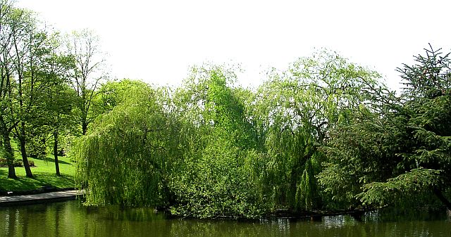
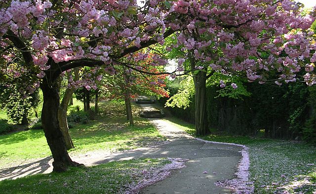
This walk in Bradford visits Peel Park in in the Bolton and Undercliffe part of the city. The expansive park covers 56 acres and includes various footpaths taking you to statues, fountains and lakes.
Just to the west you can also visit the award winning Lister Park. There's a pretty lake and a noteoworthy Mughal Water Garden to see here.
Postcode
BD3 0LT - Please note: Postcode may be approximate for some rural locationsBradford Ordnance Survey Map  - view and print off detailed OS map
Bradford Open Street Map  - view and print off detailed map
Bradford OS Map  - Mobile GPS OS Map with Location tracking
Bradford Open Street Map  - Mobile GPS Map with Location tracking
Walks near Bradford
- Saltaire - This Victorian model village and UNESCO World Heritage Site is one of the highlights of the Bradford area
- Calverley Woods - These woods in Leeds have walking trails and cycling trails suitable for mountain bikes
- Aire Valley Towpath - Follow the Leeds & Liverpool Canal and the River Aire from Leeds to Bingley on this waterside cycle or walk
- Shipley Glen - Enjoy a short walk through this delightful glen near Bradford
- Bingley St Ives - Explore 500 acres of woodland, parkland and gardens in this splendid country park near Bradford
- Chellow Dene Reservoir - Visit this lovely beauty spot on the outskirts of Bradford on this easy circular walk in West Yorkshire
- Oakwell Country Park - Explore over 100 acres of parkland on this short walk in Bradford
- Spen Way Heritage Trail - Follow the Spen Way through the beautiful West Yorkshire countryside on this splendid circular walk.
- Shibden Park - This delightful country park in Halifax is the perfect place for a peaceful afternoon stroll
- Ogden Water - Enjoy fabulous views of the Pennine hills at this country park near Halifax
- Baildon Moor - This large area of moorland near Bradford is a popular place for walkers and cyclists
- Esholt Woods - Enjoy walks and mountain bike trails in these woods in the village of Esholt near Shipley
- Thornton Viaduct - This walk visits the Thornton Viaduct in the Thornton area of Bradford.
The walk starts just to the west of the village at Close Head Row - Spen Valley Greenway - This splendid cycling and walking route runs along a disused railway line from Dewsbury to Oakenshaw near Bradford
- Bradford Millennium Way - This long distance, waymarked circular walk takes you on a tour of some of most beautiful countryside, pretty villages and attractive moorland in the Bradford area of West Yorkshire.
The walk starts on Shipley Green, just north of Shipley town centre - Pudsey - This attractive market town is located in the Leeds area of West Yorkshire
- Horton Bank Country Park - This pretty country park in Bradford has some well laid out walking trails to try.
- Shibden Valley - This circular walk explores Shibden Valley and Shibden Dale near Halifax in West Yorkshire
Dog Walking
Peel park is popular with dog walkers so you'll probably see other owners on your visit. The nearby Esholt Woods is another good option near the city.
Further Information and Other Local Ideas
Head north of the city and you can visit one of the highlights of the area at Saltaire. The Victorian model village and UNESCO World Heritage Site includes the grade II listed Victoria Hall and Salt's Mill with its shops, cafes and galleries. It's a lovely place for a waterside stroll near the city.
For cyclists the Spen Valley Greenway is a good option near the city. The shared walking and cycling trail runs along a disused railway line.


