Shoeburyness Walk
![]()
![]() This walk explores Shoeburyness on the eastern side of Southend in Essex. It's a pleasant place for a coastal walk with a beach, interesting old buildings, a nature reserve and fine views across the river estuary.
This walk explores Shoeburyness on the eastern side of Southend in Essex. It's a pleasant place for a coastal walk with a beach, interesting old buildings, a nature reserve and fine views across the river estuary.
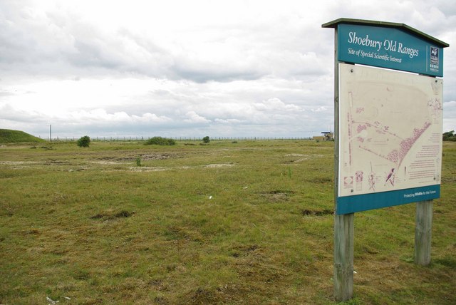
The walk starts at the East Beach car park though the area also has a nearby railway station. From here you can pick up footpaths heading south west along the coast to the Shoebury Old Ranges. This is a designated nature reserve with some rare flora, unimproved grassland and ancient sand dunes. A footpath runs along the edge of the reserve though there is no public access in order to protect the area. There is also a military influence here with several MOD buildings and the old Shoeburyness Artillery barracks.
The trail continues round to Shoebury Common where there are fine views across the River Thames estuary to the Isle of Grain on the other side.
Postcode
SS3 9AD - Please note: Postcode may be approximate for some rural locationsShoeburyness Ordnance Survey Map  - view and print off detailed OS map
Shoeburyness Open Street Map  - view and print off detailed map
Shoeburyness OS Map  - Mobile GPS OS Map with Location tracking
Shoeburyness Open Street Map  - Mobile GPS Map with Location tracking
Walks near Shoeburyness
- Southend Millennium Walk - Enjoy the coastline and surrounding countryside of this famous seaside resort on this interesting circular walk.
You will pass beaches, the famous Golden Mile with its numerous tourist attractions and the longest pier in the world on the coastal stretch which starts at Southend Tourist Information Centre - Southend to Leigh on Sea - Enjoy a nice coastal stroll on this easy walk along the Essex coast
- Benfleet to Leigh on Sea - A nice coastal walk from Benfleet to Leigh on Sea in Essex
- Two Tree Island - This expansive nature reserve in Leigh-on-Sea covers 257 hectares (640 acres)
- Roach Valley Way - This easy, circular walk explores the area around Rochford in Essex.
The path starts and finishes in Rochford, passing Hockley, Canewden and Paglesham Churchend - Great Wakering - This pretty Essex village has some nice country trails, local waterside footpaths and a noteworthy Norman church to visit.
- Hockley Woods - Follow the peaceful walking trails through this large area of mixed woodland near Rayleigh in Essex
- Wallasea Island - This walk visits the lovely Wallasea Island on the Essex coast.
- Isle of Grain - This Kent based village is located on the easternmost point of the Hoo Peninsula
- Paglesham - This Essex based village is located just east of Rochford on the River Crouch
Photos
Shoeburyness: East Beach. The low sand ridge in the centre of the photograph is effectively the sea flood defence. The land drops down to the right to an area of car parking that once was a brick works and is known as the Old Brick Field.
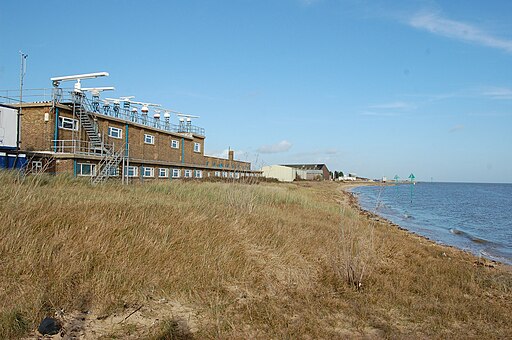
The East Beach is a sandy/pebbly beach around a quarter of a mile long and is sandwiched between the Pig's Bay MoD site and the former Shoeburyness Artillery barracks.


