Spetisbury Walk
![]()
![]() This pretty village in North Dorset has some lovely riverside walks and an ancient Iron Age Hillfort to visit. There's also an historic 15th century church and some lovely countryside to explore in the surrounding area.
This pretty village in North Dorset has some lovely riverside walks and an ancient Iron Age Hillfort to visit. There's also an historic 15th century church and some lovely countryside to explore in the surrounding area.
This route from the village uses a section of the Stour Valley Way and the North Dorset Trailway to create a circular walk through the surrounding countryside.
The walk starts in the village at Spetisbury Rings. Here you can enjoy a climb to the top of the 81 metre ancient site where you will find a trig point and some fine views over the area.
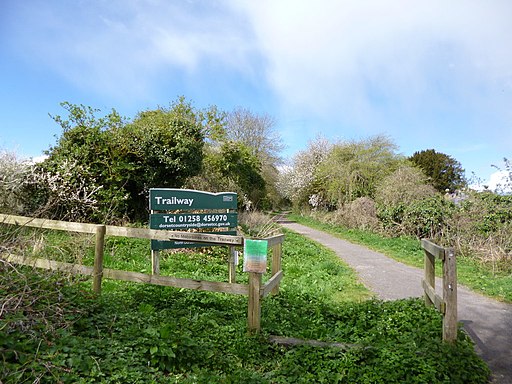
The route then follows the North Dorset Trailway west through the village. This path runs along a disused rail track passing the old bridge and station site. At Clapcott's Farm you cross the river and head north east to Keynston Mill and Tarrant Crawford where you'll pass a noteworthy 12th century church. The historic church is all that remains of Tarrant Abbey, a Cistercian nunnery founded in the 13th century.
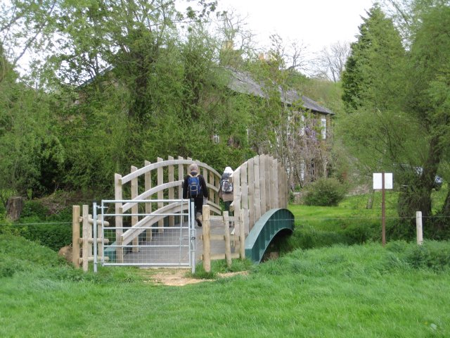
The route then turns south through farmland to Crawford Bridge where you cross the Stour and return to the village.
To extend the walk you could continue north west along the trailway to visit Blandford Forum. Head east along the River Stour path and it will take you to Sturminster Marshall, Pamphill and Wimborne where you can visit the historic minster and the National Trust's Kingston Lacy.
Spetisbury Ordnance Survey Map  - view and print off detailed OS map
Spetisbury Open Street Map  - view and print off detailed map
Spetisbury OS Map  - Mobile GPS OS Map with Location tracking
Spetisbury Open Street Map  - Mobile GPS Map with Location tracking
Pubs/Cafes
Head east to Shapwick and there's the Anchor Inn for some post walk rest and refreshment. It's a lovely pub with a good menu and some outdoor seating for fine days. You can find the pub just south east of the site at a postcode of DT11 9LB for your sat navs.
Cycle Routes and Walking Routes Nearby
Photos
Ramparts of Spettisbury Rings. A hill just South of the village was used as a hill fort by a British tribe, protected by great ramparts around the living area. The Romans took over in 45AD, the battle left many skeletons discovered when the railway nearby was constructed around 1860.


