Fife Coastal Path St Andrews To Leuchars
![]()
![]() This walk follows a section of the Fife Coastal Path from St Andrews To Leuchars.
This walk follows a section of the Fife Coastal Path from St Andrews To Leuchars.
The route runs for just over 6 miles, following a flat path that can also be used for cycling.
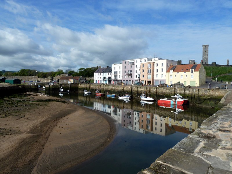
Starting on the coast at St Andrews you head north west, passing the famous golf course where The Open has been played many times. You then continue along the lovely Eden Estuary where you can see a wide variety of wading birds. At Guardbridge you cross the River Eden on an ancient bridge, passing the Bird Observatory and the Paper Mill. The final section crosses Motray Water before finishing in Leuchars.
You can extend the walk on the Tayport To Tentsmuir Walk which will take you through the splendid Tentsmuir Forest with its red squirrels and roe deer. You can also visit the wildlife rich Morton Lochs here as well.
In the other direction there's the popular St Andrews to Anstruther Coastal Walk which visits the historic village of Crail.
St Andrews To Leuchars Ordnance Survey Map  - view and print off detailed OS map
St Andrews To Leuchars Open Street Map  - view and print off detailed map
St Andrews To Leuchars OS Map  - Mobile GPS OS Map with Location tracking
St Andrews To Leuchars Open Street Map  - Mobile GPS Map with Location tracking
Cycle Routes and Walking Routes Nearby
Photos
Towards the Eden View from the old road northwards out across the Eden. Much of the area down by the shore is the site of an old brickworks.


