Stanton Moor
![]()
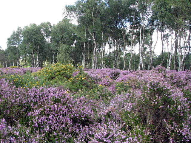
![]() This upland area near the Derbyshire village of Stanon-in-Peak has good walking trails, attractive woodland and fascinating ancient historical sites to visit.
This upland area near the Derbyshire village of Stanon-in-Peak has good walking trails, attractive woodland and fascinating ancient historical sites to visit.
You can start the walk at the village of Stanon-in-Peak near Matlock. The village has a 19th century Parish Church, Stanton Hall stately home and several fine stone houses. Just to the east of the village you can pick up public footpaths to take you across the moor. The area is geologically significant with several pillars of sandstone dotted around the edge of Stanton Moor. There are also four Bronze Age stone circles including the well known Nine Ladies. The site is owned by English Heritage and is a popular attraction for walkers and photpgraphers.
You could also start your walk from the village of Birchover to the south of Stanton Moor, if you prefer. See the Nine Ladies Stone Circle Walk for more details.
The village is also located near the splendid rock formation at Robin Hood's Stride and Doll Tor stone circle which dates from the bronze age.
To extend your walking in the area you could visit Sheepwalk wood just north of the moor. Two long distance footpaths also run past the western and eastern side of the area. The Derwent Valley Heritage Way can be followed through Darley Dale to Matlock along the River Derwent. The Limestone Way can be followed towards nearby Youlgreave.
Postcode
DE4 2LQ - Please note: Postcode may be approximate for some rural locationsStanton Moor Ordnance Survey Map  - view and print off detailed OS map
Stanton Moor Open Street Map  - view and print off detailed map
Stanton Moor OS Map  - Mobile GPS OS Map with Location tracking
Stanton Moor Open Street Map  - Mobile GPS Map with Location tracking
Further Information and Other Local Ideas
The circular Birchover Walk starts from the nearby village. It visits the moor and stone circle before heading to Darley Bridge.
For more walking ideas in the area see the Peak District Walks page.
Cycle Routes and Walking Routes Nearby
Photos
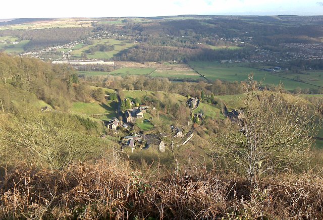
Stanton Lees from Stanton Moor. Behind lies Darley Dale in the Derwent valley, with the main part of the village on the right of the picture and the Firth Rixon rolling mills plant on the left.
Fence and information board. The fence is to keep in the re-introduced sheep. In my opinion that's a shame it has been interesting to see how the moor has been slowly reverting to (mainly) birch woodland since the sheep were taken off, probably about 35 years ago. Derbyshire is not short of sheep-grazed moorland, but a natural mixed wood - that's something special.


