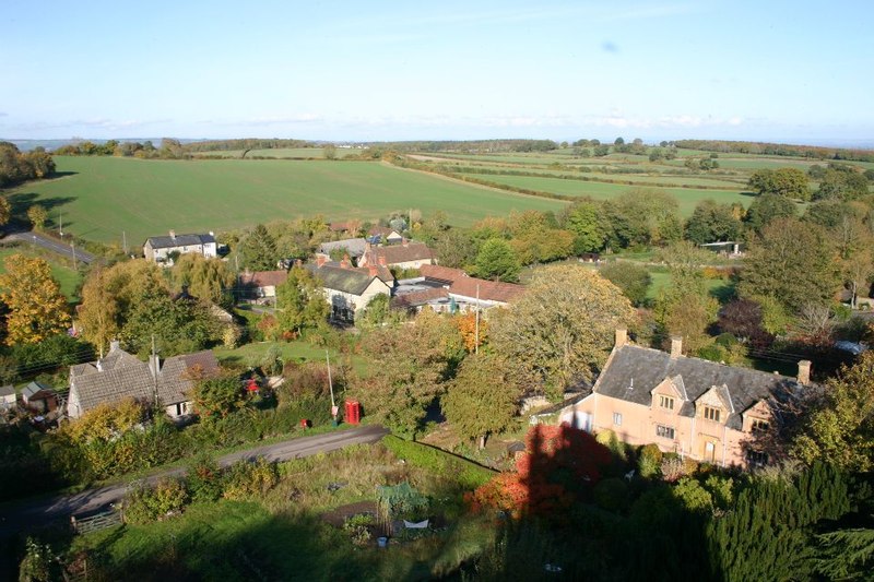
Staple Fitzpaine Herepath
![]()
![]() This is a shared cycle and walking bridleway which forms a loop around Staple Fitzpaine in the beautiful Blackdown Hills AONB.
This is a shared cycle and walking bridleway which forms a loop around Staple Fitzpaine in the beautiful Blackdown Hills AONB.
A good start point for the route is the car park at the ancient earthworks of Castle Neroche.
The route primarily follows a series of off road tracks through wooded areas including Staple Park Wood, Piddle Wood, Thurlbear Wood and Birkenhall wood. For cyclists, a mountain bike is advised as several of the off road sections are quite challenging.
Please click here for more information
Staple Fitzpaine Herepath Ordnance Survey Map  - view and print off detailed OS map
Staple Fitzpaine Herepath Open Street Map  - view and print off detailed map
Staple Fitzpaine Herepath OS Map  - Mobile GPS OS Map with Location tracking
Staple Fitzpaine Herepath Open Street Map  - Mobile GPS Map with Location tracking
Further Information and Other Local Ideas
Near the trail you'll find the Otterhead Lakes. This nature reserve in Otterford has some nice footpaths taking you along the two lakes and the River Otter. It's a great spot for gentle strolls and wildlife watching.
For more walks in the AONB see the Blackdown Hills Walks page.
Cycle Routes and Walking Routes Nearby
Photos
Herepath Bridleway. The bridleway lead to a footpath eventually emerging near the Holman Clavel Inn. There are excellent views of Taunton Deane where the path crosses a field.
Elevation Profile


