Stoke on Trent Canal Walk
![]()
![]() This waterside walk takes you along the Trent and Mersey Canal and the Caldon Canal to Hanley Park in Stoke on Trent.
This waterside walk takes you along the Trent and Mersey Canal and the Caldon Canal to Hanley Park in Stoke on Trent.
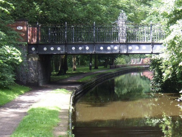
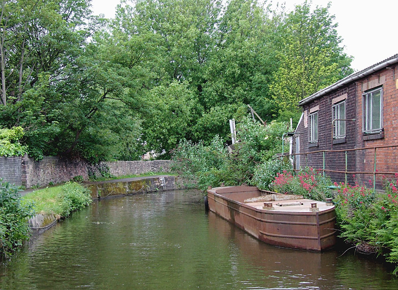
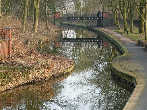
The walk starts at the train station which is right next to the Trent and Mersey Canal. Follow the canal north through Cliffe Vale to the point where it meets with the Caldon Canal. Here you will find the Etruria Industrial Museum, in a well-preserved example of a nineteenth century British steam-powered potter's mill. Follow the canal east and you will soon come to Hanley Park. The canal runs through the park which includes a lake and series of nice footpaths. You can extend the walk by continuing along the towpath through the countryside towards Cheddleton where there's the fine old Flint Mill museum to see.
Stoke on Trent Canal Walk Ordnance Survey Map  - view and print off detailed OS map
Stoke on Trent Canal Walk Open Street Map  - view and print off detailed map
Stoke on Trent Canal Walk OS Map  - Mobile GPS OS Map with Location tracking
Stoke on Trent Canal Walk Open Street Map  - Mobile GPS Map with Location tracking
Further Information and Other Local Ideas
To continue your walking in the area head to the neighbouring town of Newcastle Under Lyme and enjoy stroll along the pretty Lyme Brook to the excellent Apedale Country Park. The worthy village of Keele is also located in this area. Here you can explore the lovely campus of Keele University which includes an arboretum, lakes and gardens. It's well laid out with several colour coded footpaths to try.
Just to the north there's the lovely Bathpool Park where you'll find more waterside trails around a pretty reservoir. Near here you can also visit the historic Harecastle Tunnel on the Trent and Mersey Canal.
Just to the east of the city there's some nice trails around Park Hall Country Park. The former quarry site is now notable as Stoke on Trent's only National Nature Reserve comprising woodland, heathland and ponds.
For more walking ideas in the area see the Staffordshire Walks page.


